Cagbalete Island
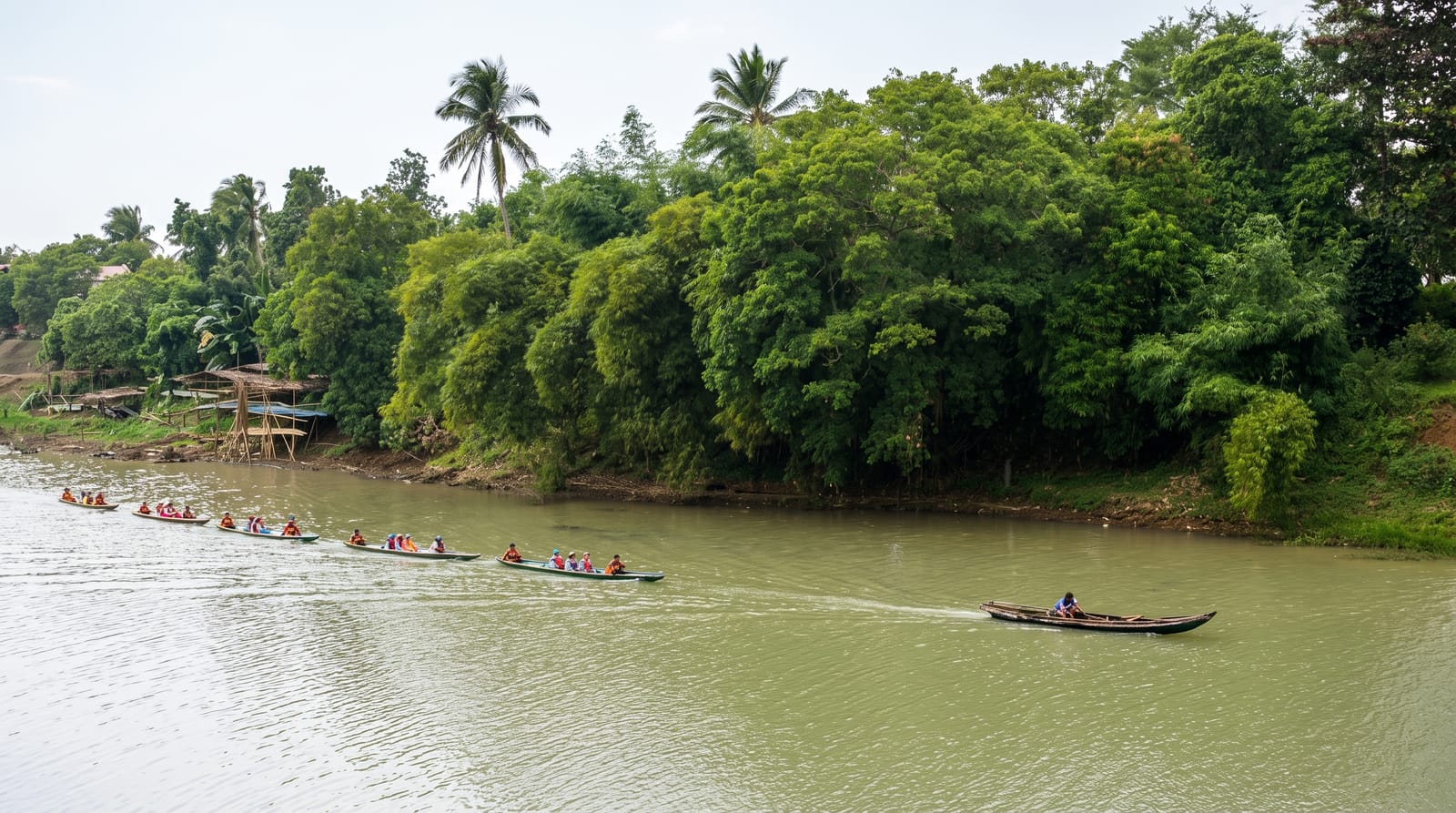
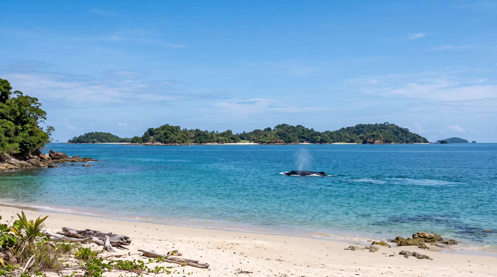
Wide tidal sand flats off Mauban - an island where low tide exposes a kilometre of ribbed sand and high tide brings the sea back to the cottage doors.
Updated 21 October 2026

AI illustration
Cagbalete lies off Mauban on the Quezon coast, facing Lamon Bay, and the tide runs the island's life. At low water the sea withdraws several hundred metres to a kilometre, leaving a vast flat of rippled sand that people walk out across to collect shells, with the water shimmering somewhere far ahead; at high tide it returns to the treeline and the same beach becomes swimmable. Sunrise over the flats, with the pattern of ripples catching the light, is the island's signature image. Accommodation is a handful of small resorts and camping areas at Bonsai Beach, Pansacola and the Villa Cleofas side, all simple, mostly generator-powered, with meals arranged in advance. Boats from Mauban run on a limited schedule and follow the tide, so day trips barely work - Cagbalete is an overnight, and the reward is a beach that changes shape twice a day and empties completely on weekdays.
History
On 11 February 1859 three Pansacola brothers, Benedicto, José and Manuel, bought the island from the Spanish government, and on 11 April 1868 they gave a quarter of it to the children of their late brother Eustáquio. Many of the island's beach resorts are named after Benedicto's descendants (Wikipedia, Cagbalete).
The landscape
- The tidal flats - ribbed sand exposed for hundreds of metres.
- The tide swing - the sea returning to the treeline.
- The sunrise - light across the wet sand pattern.
- The simple resorts - cottages and camps under the palms.
When to go
November to May for calm crossings; check the tide table, since arrival and departure both depend on it. Weekends fill the small resorts - book ahead.
Things to know
Boat schedules are few and inflexible; missing one costs a day. Power is limited, meals must be pre-arranged, and everything is cash. Swimming depends on the tide, not your plans.
Nearby
Mauban town, the Quezon coast toward Real, and Lucban's Pahiyas country are the mainland options.
Key facts
Source: Wikidata, item Q1024697, read on 18 October 2026.
What to pack for Cagbalete Island
Chosen from what this place is for. Tap a kit for the full checklist.
- Reef-safe sunscreen - High SPF that will not bleach the coral you are swimming over. Find on Amazon
- Shelter suited to the place - Tent, tarp or hut booking - match it to the terrain and rules. Find on Amazon
- Quick-dry towel - A microfibre towel packs small and dries in minutes. Find on Amazon
- A warm sleeping bag + mat - Rated a little colder than you expect the nights to be. Find on Amazon
Some links on this page are Amazon affiliate links - if you buy through them we may earn a small commission at no extra cost to you.
All packing kitsPlan your trip
Where to start if Cagbalete Island is going on the list.
Booking links on this page are affiliate links - if you book through them we may earn a small commission at no extra cost to you. It never changes what we write about a place.
Opening times, ticket prices and seasonal closures change - check the official source before you go: official site.