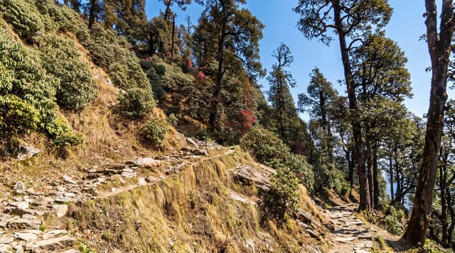
Ausangate Trek
A remote circuit around a 6,384-metre sacred peak, crossing passes above 5,000 metres past turquoise lakes and alpaca herders.
Updated 28 August 2026
Ausangate is 6,384 metres and the highest mountain in the Cusco region, the principal apu of the southern Andes, and the circuit around it is the hardest of the region's popular treks by a clear margin - five or six days at altitudes that rarely drop below 4,000 metres, crossing four or five passes above 5,000, with camping at that height every night. What it gives in return is glacial lakes in extraordinary colours from the mineral load, hanging glaciers, hot springs at Upis and Pacchanta, and vicuña, alpaca and viscacha, in country where the only settlements are herder families. Some itineraries now add Vinicunca, the striped mountain, which has changed the traffic on part of the route. Altitude is the serious issue: this is genuinely high, acclimatisation of several days in Cusco is essential, and evacuation from the middle of the circuit is slow and difficult.
What you'll find
- The high passes - four or five crossings above 5,000 metres.
- The glacial lakes - intense colours from the mineral load off the ice.
- The hot springs - thermal pools at Upis and Pacchanta on the route.
- The herder country - alpaca and vicuña, with almost no settlement.
When to go
May to September. Nights are well below freezing at any time of year. Acclimatise for several days in Cusco before starting - this is not a trek to attempt on arrival.
Things to know
Genuinely high and hard - camping above 4,500 metres nightly, with serious altitude risk and slow evacuation if something goes wrong. Extreme cold at night. Community fees are charged at several points along the route in cash.
Nearby
Vinicunca, the striped mountain, is on some route variants; Cusco is the base.
What to pack for Ausangate Trek
Chosen from what this place is for. Tap a kit for the full checklist.
- Broken-in walking shoes or boots - Grip and ankle support matter more than looks; never hike in brand-new boots. Find on Amazon
- Warm base layers - Merino or synthetic against the skin - never cotton, which chills when damp. Find on Amazon
- Layers for big temperature swings - Warm sun by day, near-freezing at night, even near the equator. Find on Amazon
- Modest clothing - Shoulders and knees covered - the single most common requirement. Find on Amazon
Some links on this page are Amazon affiliate links - if you buy through them we may earn a small commission at no extra cost to you.
All packing kitsPlan your trip
Where to start if Ausangate Trek is going on the list.
Booking links on this page are affiliate links - if you book through them we may earn a small commission at no extra cost to you. It never changes what we write about a place.
Opening times, ticket prices and seasonal closures change - check the official source before you go: official site.