Huacarpay Lake
A wetland south of Cusco holding around a hundred bird species, with the Wari city of Pikillacta on the ridge above it.
Updated 28 August 2026
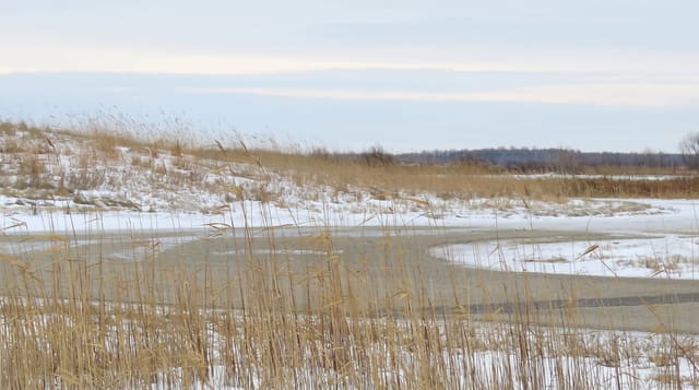
The Huacarpay lakes are a group of shallow wetlands in a basin about thirty kilometres south-east of Cusco at around 3,200 metres, protected as a Ramsar site and holding somewhere near a hundred bird species - Andean and cinnamon teal, Puna ibis, Andean gulls, grebes, plumbeous rail, and the many-coloured rush tyrant in the reeds, which is the one birders come specifically for. A road runs around the basin with tracks and viewpoints. On the ridge above stands Pikillacta, a Wari city of the seventh to tenth centuries laid out in a rigid grid of hundreds of rectangular compounds over some fifty hectares - pre-Inca by centuries, and one of the largest Wari sites known, with the Rumicolca gate nearby, a Wari structure later refaced by the Inca. The two together make a half day from Cusco that almost no visitor makes, since the tour circuit runs the other way.
The landscape
- The wetland birds - around a hundred species, including the rush tyrant in the reeds.
- Pikillacta - a Wari grid city of hundreds of compounds on the ridge above.
- Rumicolca - the Wari gate later refaced by the Inca.
- The quiet - a basin the Cusco tour circuit does not visit.
When to go
April to October, the dry season. Early morning for the birds. Half a day covers the lake and Pikillacta together.
Good to know
No facilities at the lake and no hides - birding is from the road and tracks. Pikillacta is largely low walls and foundations, and needs interest in pre-Inca archaeology to hold attention. Exposed at 3,200 metres.
Nearby
Pikillacta and Rumicolca are on the ridge; Tipón and Andahuaylillas are on the same road.
Key facts
Source: Wikidata, item Q1800530, read on 18 October 2026.
What to pack for Huacarpay Lake
Chosen from what this place is for. Tap a kit for the full checklist.
- Broken-in walking shoes or boots - Grip and ankle support matter more than looks; never hike in brand-new boots. Find on Amazon
- Layers for big temperature swings - Warm sun by day, near-freezing at night, even near the equator. Find on Amazon
- Layers + a waterproof shell - Mountain weather turns fast; a packable rain jacket saves the day. Find on Amazon
- Extra-strong sun protection - Thin air means fierce UV; hat, sunglasses and high-SPF sunscreen. Find on Amazon
Some links on this page are Amazon affiliate links - if you buy through them we may earn a small commission at no extra cost to you.
All packing kitsPlan your trip
Where to start if Huacarpay Lake is going on the list.
Booking links on this page are affiliate links - if you book through them we may earn a small commission at no extra cost to you. It never changes what we write about a place.
Opening times, ticket prices and seasonal closures change - check the official source before you go: official site.