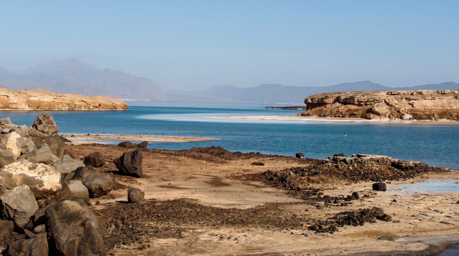
Lake Kutubu
A highland lake in the Southern Highlands with endemic fish, a Ramsar wetland ringed by villages and forest.
Updated 1 September 2026
Kutubu lies at around eight hundred metres in the Southern Highlands, the second largest lake in Papua New Guinea, some nineteen kilometres long and held in a forested basin, and it is a Ramsar wetland with an unusual endemic fauna: the great majority of its fish species occur nowhere else, the result of long isolation, along with endemic snails and other invertebrates. Villages of the Foi people sit on the shore in longhouses, moving on the water by canoe, and community guesthouses receive the few visitors who reach it. The forest around holds birds-of-paradise. Oil and gas development in the wider region has changed access and economies considerably.
The landscape
- The lake - the long water body in its forested basin.
- Endemic fish - the species found only in this lake.
- Foi villages - the longhouse settlements on the shore.
- Canoe travel - the way people move on the water.
When to go
May to October in the drier season, when roads and flights are most reliable; the highlands are wet year round. Village guesthouses need arranging in advance through local contacts.
Good to know
Access is genuinely difficult, by rough road or small aircraft, and both are unreliable. Accommodation is village guesthouses with no facilities. Arrangements must be made in advance with local contacts. Rain is likely most days.
Nearby
Mendi lies north; Mount Bosavi is south.
Key facts
Source: Wikidata, item Q1800976, read on 18 October 2026.
What to pack for Lake Kutubu
Chosen from what this place is for. Tap a kit for the full checklist.
- Reef-safe sunscreen - High SPF that will not bleach the coral you are swimming over. Find on Amazon
- Quick-dry clothing - Board shorts or synthetics that shrug off spray and dry fast. Find on Amazon
- Quick-dry towel - A microfibre towel packs small and dries in minutes. Find on Amazon
- Secure water shoes or reef boots - Grip on slippery launches and protection on rocky shores. Find on Amazon
Some links on this page are Amazon affiliate links - if you buy through them we may earn a small commission at no extra cost to you.
All packing kitsPlan your trip
Where to start if Lake Kutubu is going on the list.
Booking links on this page are affiliate links - if you book through them we may earn a small commission at no extra cost to you. It never changes what we write about a place.
Opening times, ticket prices and seasonal closures change - check the official source before you go: official site.