The Camino de Cruces
A surviving stretch of the cobbled Spanish road that carried Peruvian silver across the isthmus, now a forest trail.
Updated 2 September 2026
AI illustration
UNESCO World Heritage
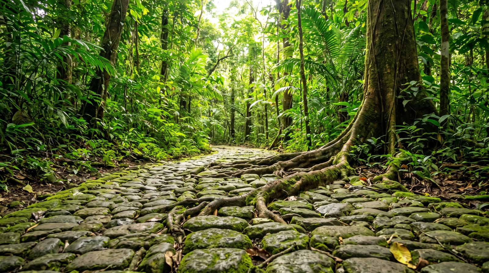
For nearly three centuries the silver of Peru was landed at Panama, carried across the isthmus by mule and then shipped from Portobelo to Spain, and part of that route was paved: a cobbled road through the forest, sections of which survive under leaf litter and moss in the national park that carries its name. Walking it is walking on the stones the treasure trains used, with the forest closed over the top and howler monkeys audible. The park sits between Soberanía and the city and forms part of the corridor of protected land along the canal, so wildlife moves through it despite the proximity to Panama City.
What's there
- The cobbled road - surviving stretches of Spanish paving under the forest.
- The forest corridor - protected land linking Soberanía to the city.
- Howler monkeys - audible along most of the route.
- The connection to Venta de Cruces - the river port at the trail's end.
When to go
December to April is the dry season and the trail firmest; in the wet the cobbles are slick and the path muddy. Early morning is best for wildlife and coolest. A guide adds a great deal, since the historical sections are easy to walk past.
Before you go
Sections of the surviving road are short and interrupted, and without a guide the trail can read as an ordinary forest walk. It is muddy and slippery in most months. There have been occasional robberies on quiet forest trails near the city, so go with others. Facilities are minimal.
Nearby
Soberanía and Pipeline Road are north; Panama City is twenty minutes south.
Key facts
Source: Wikidata, item Q28503131, read on 18 October 2026.
What to pack for The Camino de Cruces
Chosen from what this place is for. Tap a kit for the full checklist.
- Broken-in walking shoes or boots - Grip and ankle support matter more than looks; never hike in brand-new boots. Find on Amazon
- Binoculars - The single best wildlife tool - even a compact pair transforms a sighting. Find on Amazon
- Layers + a waterproof shell - Mountain weather turns fast; a packable rain jacket saves the day. Find on Amazon
- A zoom camera or long lens - Animals rarely come close; reach beats megapixels. Find on Amazon
Some links on this page are Amazon affiliate links - if you buy through them we may earn a small commission at no extra cost to you.
All packing kitsPlan your trip
Where to start if The Camino de Cruces is going on the list.
Booking links on this page are affiliate links - if you book through them we may earn a small commission at no extra cost to you. It never changes what we write about a place.
Opening times, ticket prices and seasonal closures change - check the official source before you go: official site.


