The Amador Causeway
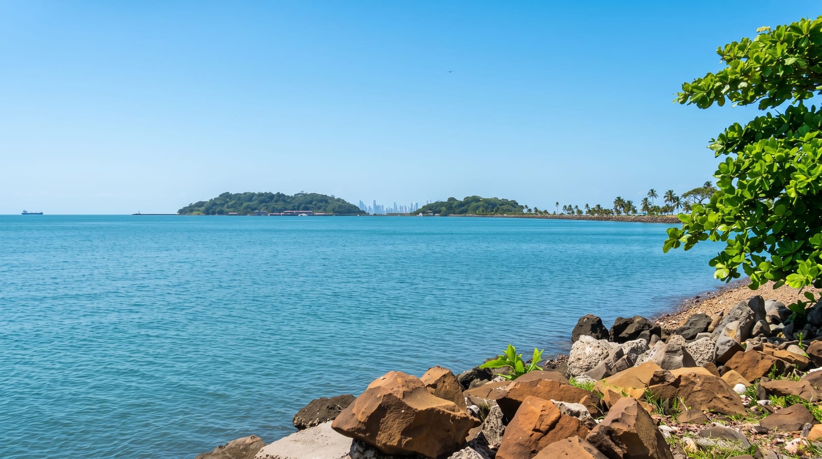
A road built from canal spoil joining four islands to the mainland, with the whole Panama City skyline and the Pacific entrance in one view.
Updated 2 September 2026
AI illustration
The rock and earth dug out of the Culebra Cut had to go somewhere, and a good deal of it went into a causeway running six kilometres out from the mainland to join four small islands, built partly to stop silt drifting into the canal entrance. It is now the city's promenade: a wide path along both sides used by cyclists, runners and everyone else in the evening, with the skyline of Panama City on one side, ships queuing for the canal on the other, and the Bridge of the Americas overhead. The Biomuseo stands at the landward end and Punta Culebra has a small marine exhibit run by the research institute.
What's there
- The skyline view - the whole city across the bay from the causeway.
- Ships at anchor - queuing for the Pacific entrance to the canal.
- The Bridge of the Americas - spanning the canal mouth above.
- Punta Culebra - the marine exhibit and coastal dry forest at the end.
When to go
December to April is the dry season. Late afternoon and evening is when the causeway fills and the light on the skyline is best. Weekends are busy with families. It is fully exposed, so midday is hot.
What to expect
It is a promenade rather than a destination, and the restaurants along it are priced for visitors. Traffic on the road is heavy at weekends. There is no shade for most of its length. Swimming is not advisable; the water at the canal entrance is not clean.
Nearby
Casco Viejo is fifteen minutes; the Biomuseo is at the causeway entrance.
What to pack for The Amador Causeway
Chosen from what this place is for. Tap a kit for the full checklist.
- Broken-in walking shoes or boots - Grip and ankle support matter more than looks; never hike in brand-new boots. Find on Amazon
- Reef-safe sunscreen - High SPF that will not bleach the coral you are swimming over. Find on Amazon
- Padded shorts - The one thing that makes a full day in the saddle bearable. Find on Amazon
- Spare batteries + cards - Cold and long shoots drain power; never run out at the good light. Find on Amazon
Some links on this page are Amazon affiliate links - if you buy through them we may earn a small commission at no extra cost to you.
All packing kitsPlan your trip
Where to start if The Amador Causeway is going on the list.
Booking links on this page are affiliate links - if you book through them we may earn a small commission at no extra cost to you. It never changes what we write about a place.
Opening times, ticket prices and seasonal closures change - check the official source before you go: official site.