Stalheimskleiva
Thirteen hairpin bends dropping into the Naeroydalen valley at a gradient of one in five, built in the 1840s.
Updated 4 September 2026
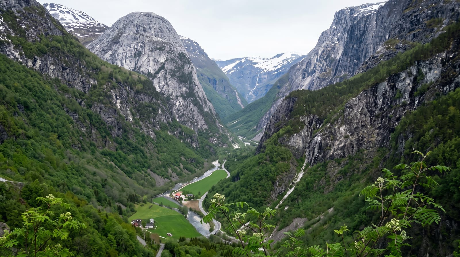
AI illustration
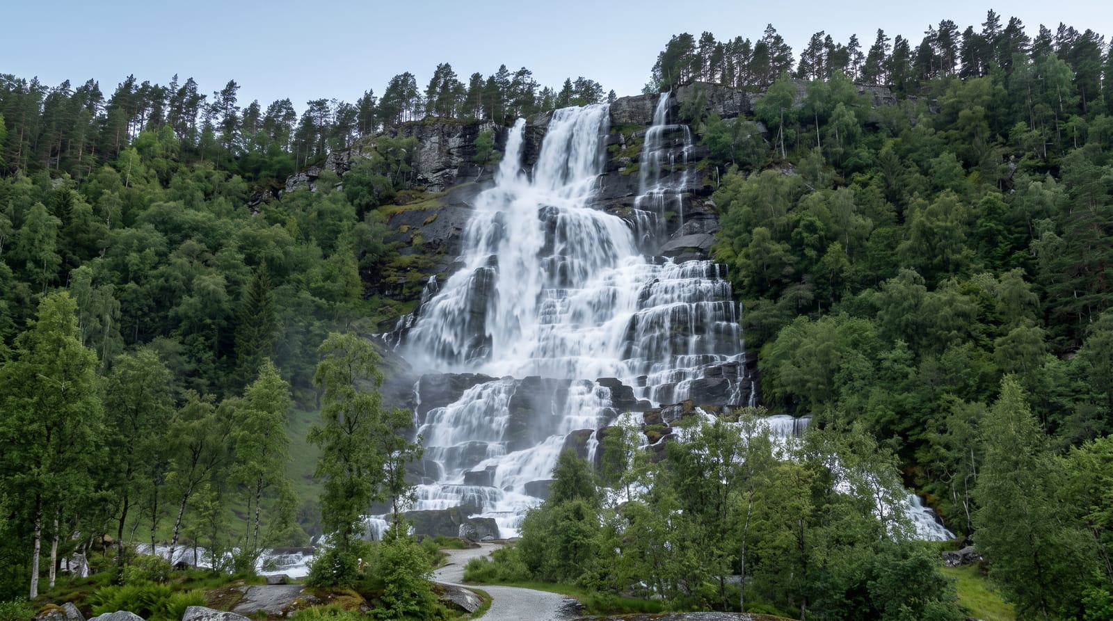
Stalheimskleiva drops about 250 metres in a little over a kilometre and a half through thirteen hairpin bends at gradients reaching one in five, which makes it one of the steepest roads in northern Europe open to ordinary traffic. It was completed in 1846 as part of the mail route between Bergen and Christiania, cut and walled by hand, with the Stalheimsfossen and Sivlefossen waterfalls dropping beside it. Traffic runs downhill only. It was bypassed by the E16 tunnels and is now kept as a historic route, though rockfall and landslide have closed it for extended periods in recent years, so its status should be checked before planning a drive.
What you'll find
- The thirteen hairpins - a descent at gradients up to one in five.
- The hand-built walls - 1840s stone retaining work along the bends.
- The two waterfalls - Stalheimsfossen and Sivlefossen beside the road.
- The Naeroydalen valley - the gorge opening below the descent.
When to go
May to September, when the road is normally open; it closes in winter and has been shut for long stretches by landslides. The Stalheim hotel above gives the classic view down the valley without driving it.
Good to know
The road is downhill only, very narrow, and unsuitable for caravans, buses or nervous drivers, with tight bends that require full lock. Closures are frequent and can last seasons. Brakes overheat easily on the descent.
Nearby
The Naeroyfjord and Gudvangen lie below; Voss and the Stalheim hotel are above.
Key facts
Source: Wikidata, item Q12718605, read on 18 October 2026.
What to pack for Stalheimskleiva
Chosen from what this place is for. Tap a kit for the full checklist.
- Comfortable walking shoes - Sightseeing means kilometres of pavement and cobbles daily. Find on Amazon
- A slim anti-theft daypack - Zips that close properly; keep it in front in crowds and on transit. Find on Amazon
- A refillable water bottle - Many cities have public fountains; save money and plastic. Find on Amazon
- A light layer + compact umbrella - For museum air-con and a sudden shower. Find on Amazon
Some links on this page are Amazon affiliate links - if you buy through them we may earn a small commission at no extra cost to you.
All packing kitsPlan your trip
Where to start if Stalheimskleiva is going on the list.
Booking links on this page are affiliate links - if you book through them we may earn a small commission at no extra cost to you. It never changes what we write about a place.
Opening times, ticket prices and seasonal closures change - check the official source before you go: official site.