Raet National Park
A coastal park around Tromoy near Arendal, built on the same ice-age moraine that runs along the whole Oslofjord coast.
Updated 4 September 2026

AI illustration
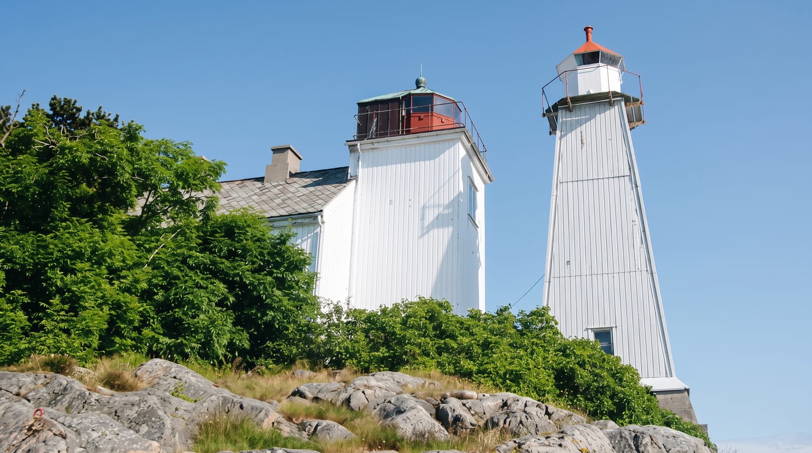
Raet National Park, created in 2016, covers about 607 square kilometres around Arendal, most of it sea, and takes its name from the Ra, the terminal moraine the retreating ice sheet left across southern Norway. On Tromoy the moraine surfaces as Hoveodden, a long pebble and sand shore with pine woods behind, and offshore it forms shallow banks that support the marine life the park protects. The coast here is the classic Sorlandet mix of smooth rock, small bays and white timber houses. Merdo island holds a preserved sailing-era community, and Hove has a beach, a campsite and a festival ground. Boats from Arendal serve several of the islands in summer.
What you'll find
- Hoveodden - a moraine shore of pebble and sand with pine behind.
- The island communities - Merdo and Tromoy with preserved timber houses.
- The rock coast - smooth glacier-worn granite and small bays.
- The protected seabed - shallow banks and marine habitats offshore.
When to go
May to September for swimming, walking and island boats; July is the busiest and warmest. Spring and autumn suit the coastal paths, and the park stays open year-round with reduced boat services.
Good to know
Much of the park is sea, so the land component is smaller than the area suggests. Hove gets crowded in summer and hosts large events. Access to some islands depends on seasonal boats, and shoreline camping is restricted in places.
Nearby
Arendal's harbour town is on the mainland; Grimstad and the Blindleia channel lie west.
Key facts
Source: Wikidata, item Q28082020, read on 18 October 2026.
What to pack for Raet National Park
Chosen from what this place is for. Tap a kit for the full checklist.
- Broken-in walking shoes or boots - Grip and ankle support matter more than looks; never hike in brand-new boots. Find on Amazon
- Reef-safe sunscreen - High SPF that will not bleach the coral you are swimming over. Find on Amazon
- Binoculars - The single best wildlife tool - even a compact pair transforms a sighting. Find on Amazon
- Warm base layers - Merino or synthetic against the skin - never cotton, which chills when damp. Find on Amazon
Some links on this page are Amazon affiliate links - if you buy through them we may earn a small commission at no extra cost to you.
All packing kitsPlan your trip
Where to start if Raet National Park is going on the list.
Booking links on this page are affiliate links - if you book through them we may earn a small commission at no extra cost to you. It never changes what we write about a place.
Opening times, ticket prices and seasonal closures change - check the official source before you go: official site.