Hvaler Islands
An archipelago of smooth pink granite southeast of Fredrikstad, with more sunshine than anywhere else in Norway.
Updated 4 September 2026
AI illustration
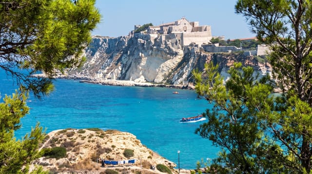
Hvaler is a group of around eight hundred islands and skerries at the mouth of the Oslofjord, of which a handful are inhabited and linked to the mainland by bridges and a tunnel. The rock is a warm pink-grey granite worn into rounded whalebacks by the ice, and it holds heat, which combined with some of the highest sunshine figures in Norway makes the islands the classic Norwegian summer destination for people from Oslo and the Ostfold towns. Much of the outer archipelago lies within Ytre Hvaler National Park, established in 2009, Norway's first marine national park, protecting a seabed that includes cold-water coral reefs. Akeroya and Herfol are among the quieter outer islands, reached by boat.
Highlights
- The pink granite - smooth rounded rock worn by ice, warm to sit on.
- The outer islands - Akeroya, Herfol and Sondre Sandoy by boat.
- The marine park - protected seabed with cold-water coral reefs.
- The summer villages - boat harbours and holiday houses on the inner islands.
When to go
June to August, when ferries run their full schedule and the water is warm enough for real swimming; July is very busy. May and September are quiet with the granite still pleasant to walk.
Things to know
July brings heavy traffic on the single road out and long queues at the bridges. Accommodation is scarce and expensive in season, with most visitors using their own boats or cabins. Parts of the national park have landing restrictions in the bird nesting season.
Nearby
Fredrikstad's fortified old town lies north; the Swedish border and Koster islands are close by sea.
What to pack for Hvaler Islands
Chosen from what this place is for. Tap a kit for the full checklist.
- Broken-in walking shoes or boots - Grip and ankle support matter more than looks; never hike in brand-new boots. Find on Amazon
- Reef-safe sunscreen - High SPF that will not bleach the coral you are swimming over. Find on Amazon
- Layers + a waterproof shell - Mountain weather turns fast; a packable rain jacket saves the day. Find on Amazon
- Quick-dry towel - A microfibre towel packs small and dries in minutes. Find on Amazon
Some links on this page are Amazon affiliate links - if you buy through them we may earn a small commission at no extra cost to you.
All packing kitsPlan your trip
Where to start if Hvaler Islands is going on the list.
Booking links on this page are affiliate links - if you book through them we may earn a small commission at no extra cost to you. It never changes what we write about a place.
Opening times, ticket prices and seasonal closures change - check the official source before you go: official site.