Sarpsfossen
Europe's second largest waterfall by water volume, after the Rhine Falls, dropping twenty metres in the middle of an industrial town.
Updated 21 October 2026

AI illustration
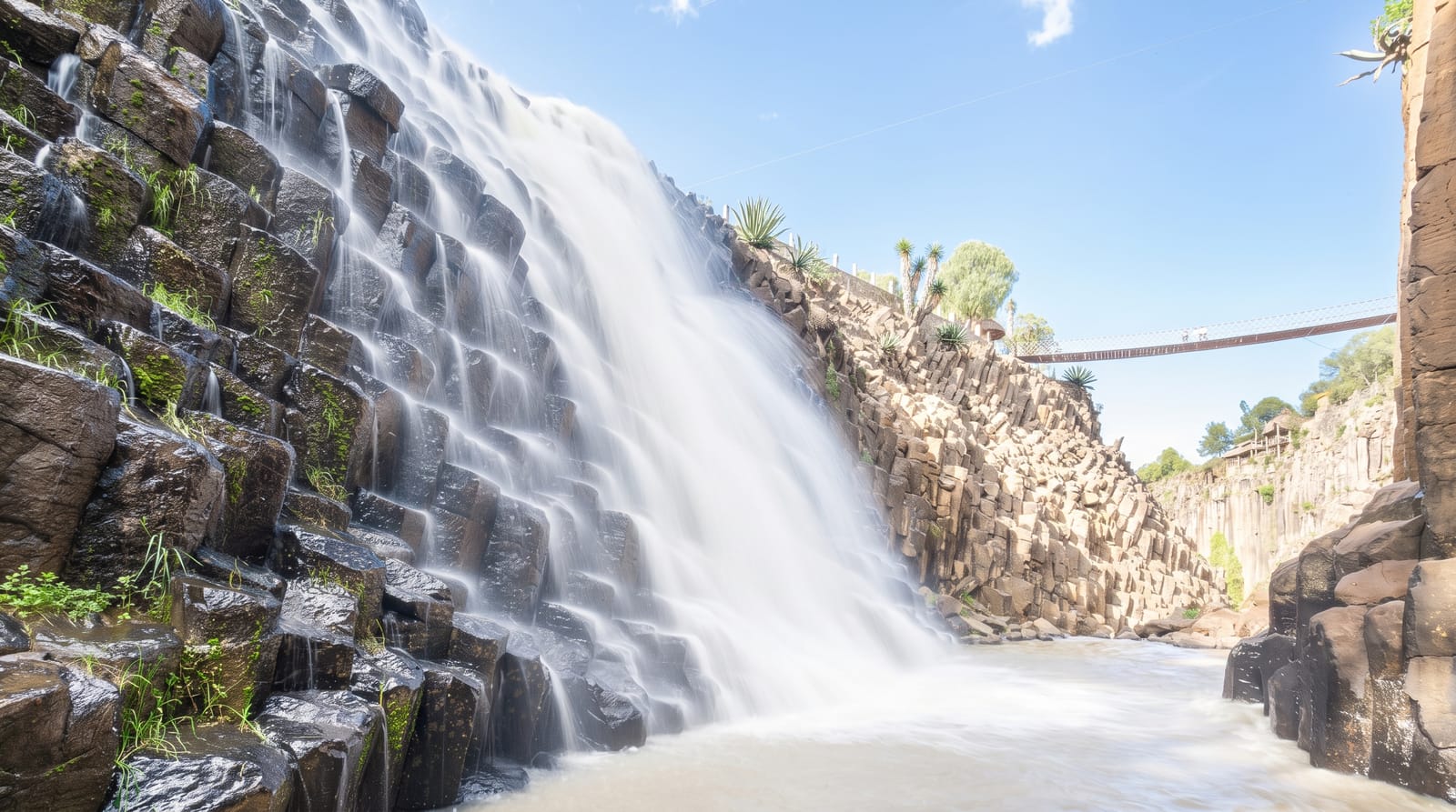
Sarpsfossen carries the Glomma, Norway's largest river, over a drop of about twenty metres, and although that height is modest the volume is enormous, averaging around 577 cubic metres per second, which makes it the second largest waterfall in Europe by discharge, after the Rhine Falls. That power is the reason Sarpsborg exists: mills, sawmills and then paper and chemical industries were built on it from the medieval period onward, and hydroelectric plants take much of the water today, so the visible fall varies with what the turbines are using. Viewing platforms stand on both banks, and the Borregaard industrial complex sits alongside.
History
According to saga tradition, King Olav Haraldsson founded the town of Borg beside the waterfall in 1016, with a fortified settlement, a royal estate and a church, and Borg became the forerunner of Sarpsborg. The falls, about 20.5 metres high and fed by a catchment of some 41,182 square kilometres, later powered mills and sawmills, and from the late 19th century became a major source of hydroelectricity (Wikipedia, Sarp Falls).
What's there
- The volume - second in Europe by average water flow, after the Rhine Falls.
- The viewing platforms - overlooks on both banks of the Glomma.
- The industry - hydroelectric plants and the Borregaard works alongside.
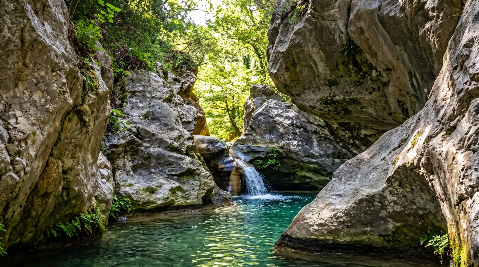
- The gorge below - the river channel cut through rock downstream.
When to go
April to June for the highest natural flow from snowmelt, when less water is diverted; the fall runs year-round but can look diminished when the power plants take most of it. Autumn rain also raises the level.
Before you go
The setting is heavily industrial and noisy, with factories and power infrastructure framing the view, which surprises visitors expecting a natural site. The visible flow depends on power generation and can be much reduced. The drop is short, so the impression is force rather than spectacle.
Nearby
Sarpsborg town centre is alongside; Fredrikstad's fortified old town lies southwest.
Key facts
Source: Wikidata, item Q2225091, read on 18 October 2026.
What to pack for Sarpsfossen
Chosen from what this place is for. Tap a kit for the full checklist.
- Broken-in walking shoes or boots - Grip and ankle support matter more than looks; never hike in brand-new boots. Find on Amazon
- Layers + a waterproof shell - Mountain weather turns fast; a packable rain jacket saves the day. Find on Amazon
- Daypack with rain cover - 20-30 litres holds water, snacks, layers and a first-aid kit. Find on Amazon
- Offline maps + a power bank - Download the trail before you lose signal; carry backup charge. Find on Amazon
Some links on this page are Amazon affiliate links - if you buy through them we may earn a small commission at no extra cost to you.
All packing kitsPlan your trip
Where to start if Sarpsfossen is going on the list.
Booking links on this page are affiliate links - if you book through them we may earn a small commission at no extra cost to you. It never changes what we write about a place.
Opening times, ticket prices and seasonal closures change - check the official source before you go: official site.