Hallingskarvet National Park
A thirty-five-kilometre mountain wall standing above the Hardangervidda plateau, flat on top and sheer on the south side.
Updated 4 September 2026

AI illustration
Hallingskarvet is a single long massif, about thirty-five kilometres of nearly level plateau top ending in a steep southern wall that rises hundreds of metres above the surrounding country, so it reads from a distance as a raised table rather than a range of peaks. The national park, created in 2006, covers about 450 square kilometres and adjoins Hardangervidda. Its highest point, Folarskardnuten at 1,933 metres, is the highest in the old Buskerud county. The philosopher Arne Naess built a cabin, Tvergastein, high on the mountain in 1937 and wrote much of his ecological philosophy there. The Bergen Railway runs along the northern side, giving car-free access from Finse and Haugastol.
Highlights
- The mountain wall - a long steep southern face above the plateau.
- The flat summit plateau - level ground running for tens of kilometres.
- Folarskardnuten - the massif's high point at 1,933 metres.
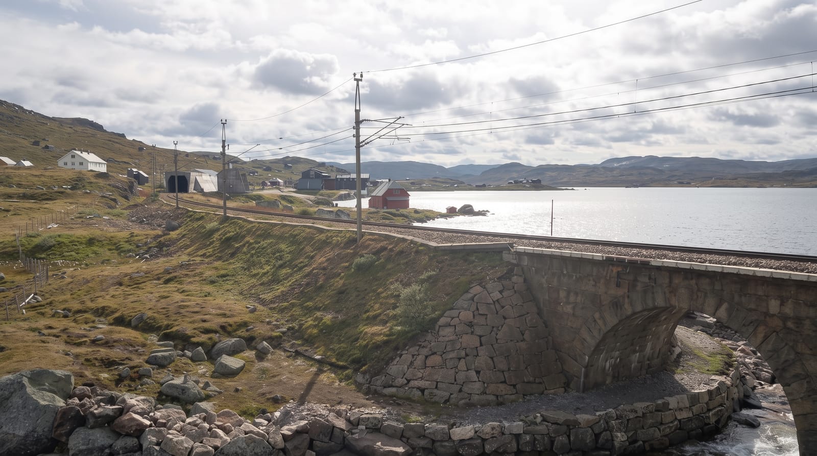
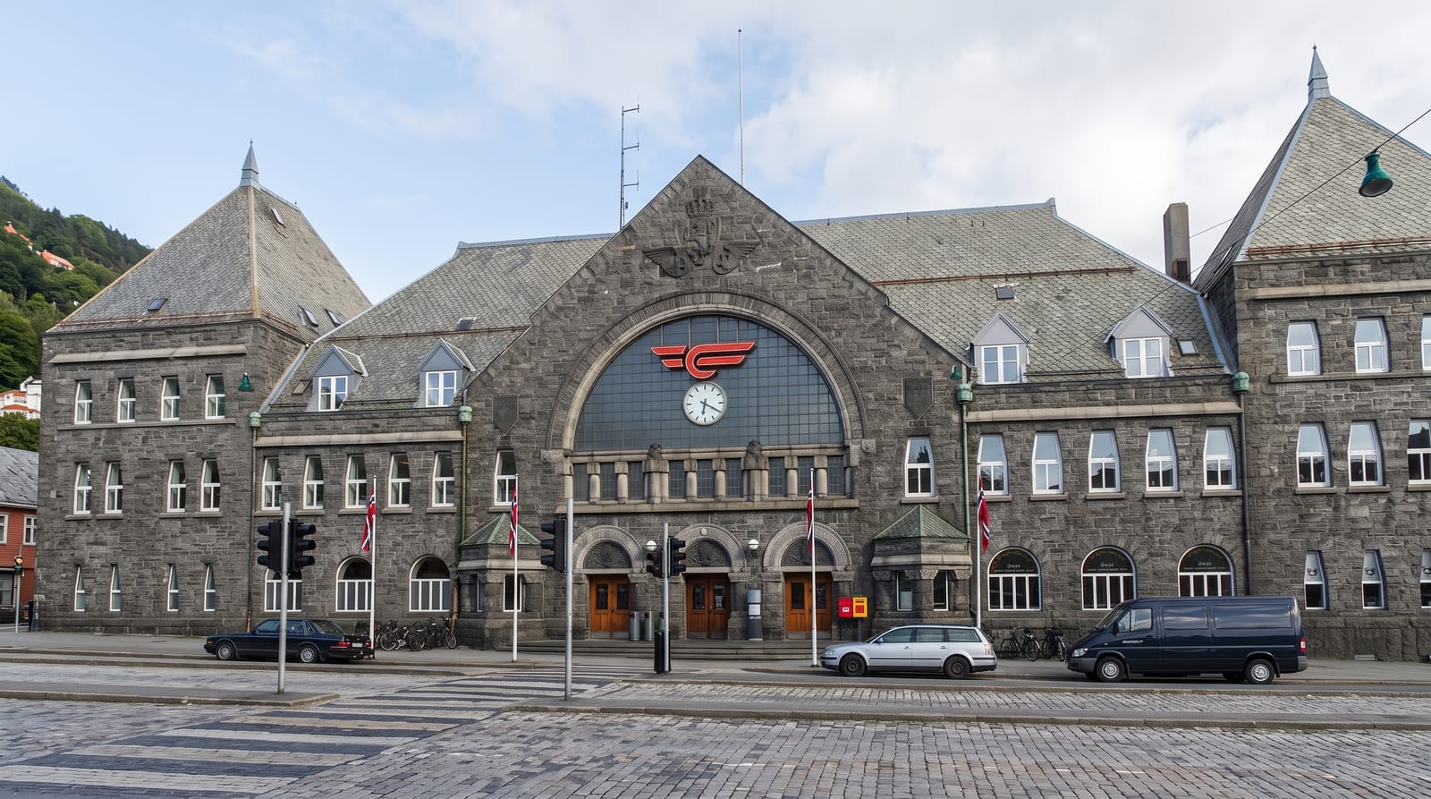
- The railway access - Bergen Line stations at Finse and Haugastol.
When to go
July to September for walking, once the snow has cleared from the ascent routes; the plateau holds snow late. February to April is a ski-touring season. Weather is severe and exposed on the top in any month.
What to expect
There is no shelter on the plateau and navigation in fog is difficult on featureless ground. Ascent routes onto the wall are steep and can hold snow into midsummer. Wild reindeer are present and disturbance rules apply on some routes.
Nearby
Geilo and Haugastol are the road bases; Finse, Hardangerjokulen and Hardangervidda lie west and south.
Key facts
Source: Wikidata, item Q1571753, read on 18 October 2026.
What to pack for Hallingskarvet National Park
Chosen from what this place is for. Tap a kit for the full checklist.
- Broken-in walking shoes or boots - Grip and ankle support matter more than looks; never hike in brand-new boots. Find on Amazon
- Binoculars - The single best wildlife tool - even a compact pair transforms a sighting. Find on Amazon
- Warm base layers - Merino or synthetic against the skin - never cotton, which chills when damp. Find on Amazon
- Layers + a waterproof shell - Mountain weather turns fast; a packable rain jacket saves the day. Find on Amazon
Some links on this page are Amazon affiliate links - if you buy through them we may earn a small commission at no extra cost to you.
All packing kitsPlan your trip
Where to start if Hallingskarvet National Park is going on the list.
Booking links on this page are affiliate links - if you book through them we may earn a small commission at no extra cost to you. It never changes what we write about a place.
Opening times, ticket prices and seasonal closures change - check the official source before you go: official site.