Hardangerjokulen
An ice cap above Finse that stood in for the ice planet Hoth, reached by a long walk from a station with no road.
Updated 4 September 2026
AI illustration
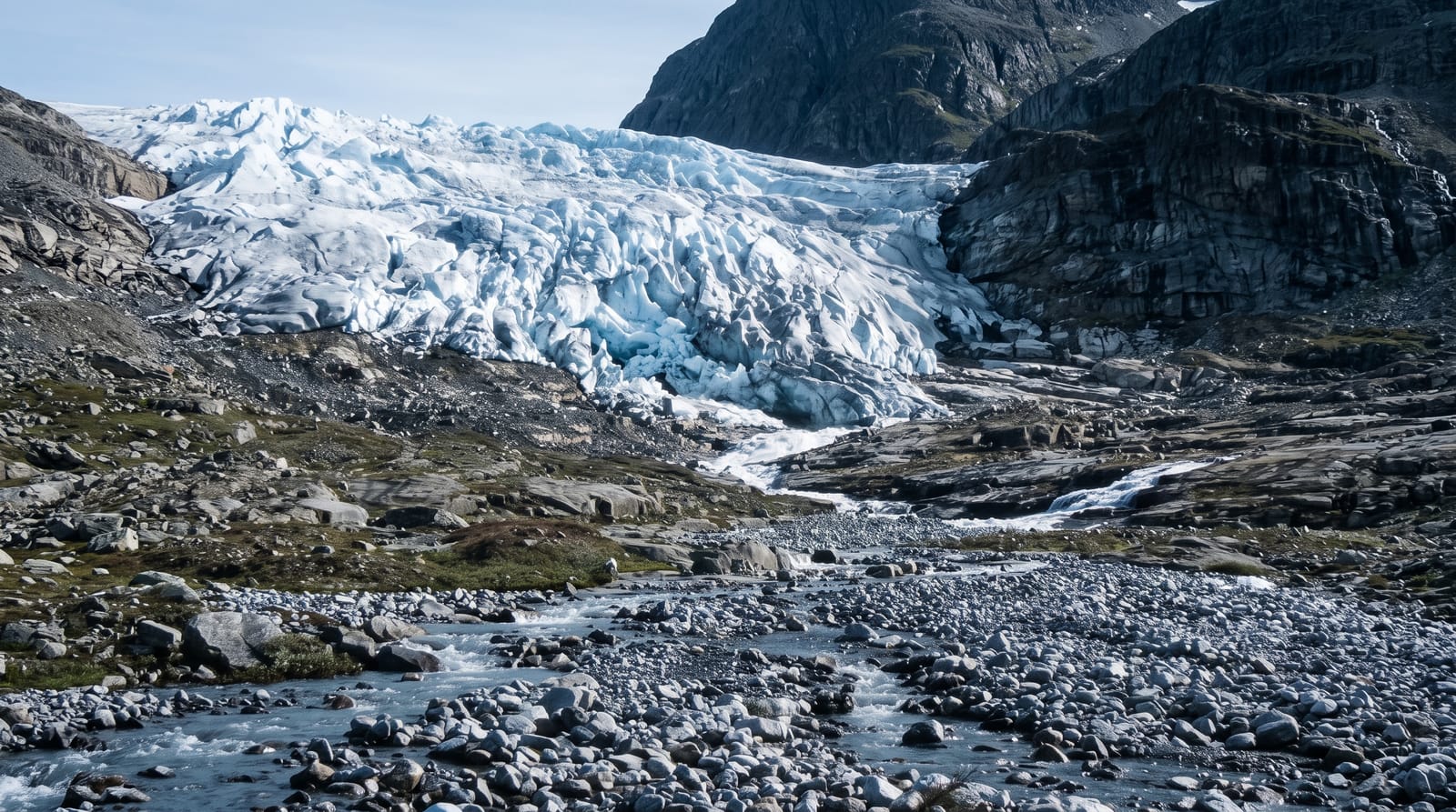
Hardangerjokulen is a flat ice cap of about seventy square kilometres on the northern edge of Hardangervidda, rising to 1,863 metres, and the usual approach is from Finse, a settlement that exists only because the Bergen railway passes through it and which has no road connection at all. The walk to the glacier and back is a long day over bare high ground. The plateau around Finse was used in 1979 for the ice planet scenes in The Empire Strikes Back, and the location is still pointed out. Guided trips go onto the ice in summer with crevasse equipment. Finse also sits on the Rallarvegen cycle route and holds a museum about the navvies who built the railway through this terrain.
What you'll find
- The ice cap - a flat glacier plateau above 1,800 metres.
- Finse - a railway settlement with no road, at 1,222 metres.
- The Rallarvegen - the old construction road, now a cycle route.
- The film location - the plateau used for the ice planet scenes.
When to go
July to September, when the approach is clear of snow and guided trips run; snow lies around Finse for much of the year and the area is a winter ski-touring base. Weather is severe and changes fast in any season.
Good to know
Access is by train only, and missing the last service means staying, with very limited accommodation. The glacier should not be walked on without a guide and crevasse gear. Conditions at 1,200 metres can be wintry in July, and the walk is long with no shelter.
Nearby
Hardangervidda National Park spreads south; the Flam Railway junction at Myrdal is one stop west.
Key facts
Source: Wikidata, item Q1585036, read on 18 October 2026.
What to pack for Hardangerjokulen
Chosen from what this place is for. Tap a kit for the full checklist.
- Broken-in walking shoes or boots - Grip and ankle support matter more than looks; never hike in brand-new boots. Find on Amazon
- Warm base layers - Merino or synthetic against the skin - never cotton, which chills when damp. Find on Amazon
- Layers + a waterproof shell - Mountain weather turns fast; a packable rain jacket saves the day. Find on Amazon
- An insulated + windproof jacket - A down or synthetic layer under a hard shell handles most cold. Find on Amazon
Some links on this page are Amazon affiliate links - if you buy through them we may earn a small commission at no extra cost to you.
All packing kitsPlan your trip
Where to start if Hardangerjokulen is going on the list.
Booking links on this page are affiliate links - if you book through them we may earn a small commission at no extra cost to you. It never changes what we write about a place.
Opening times, ticket prices and seasonal closures change - check the official source before you go: official site.