Bud
A fishing village on the exposed Romsdal coast, once the largest trading place between Bergen and Trondheim.
Updated 21 October 2026
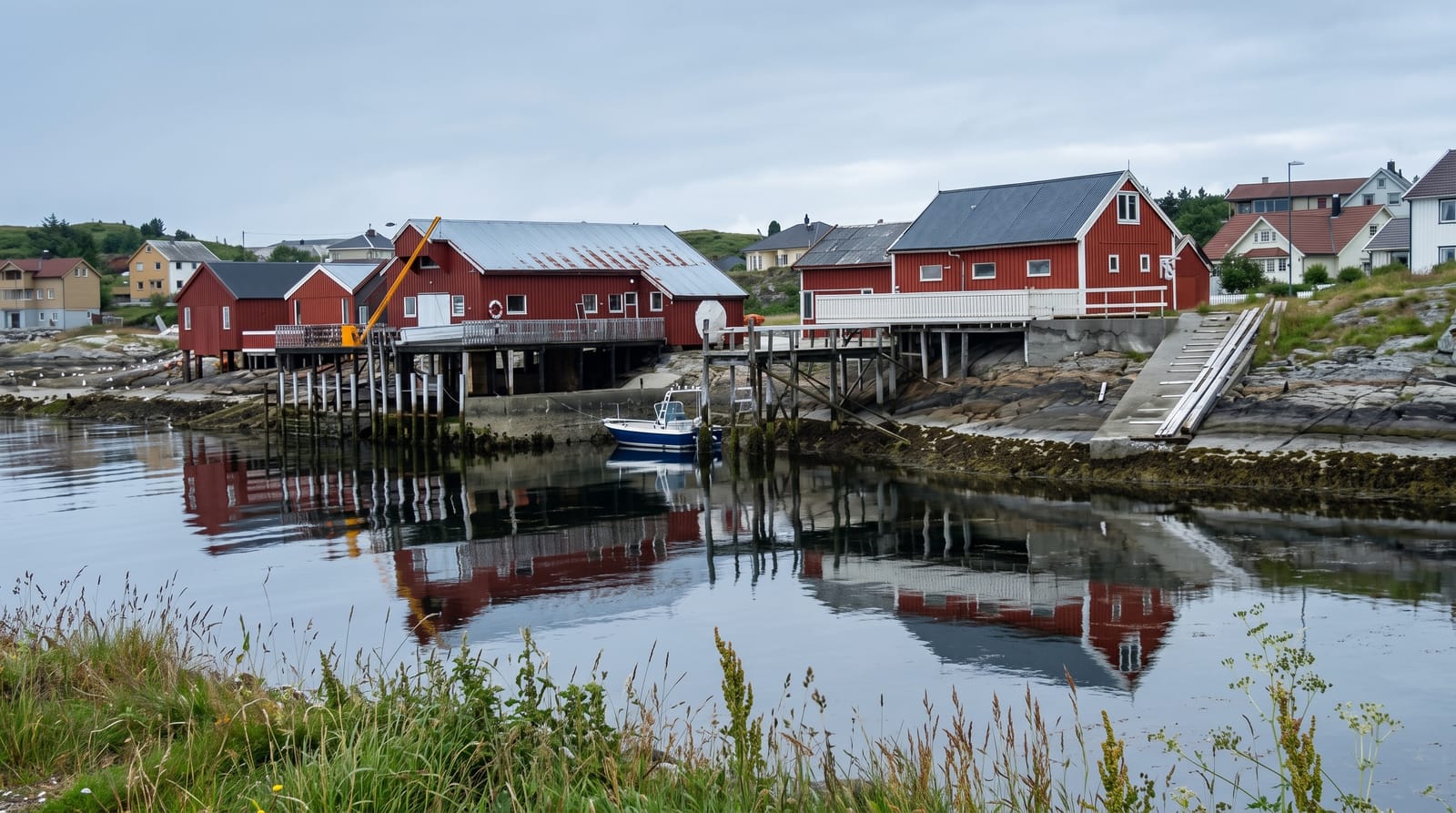
AI illustration
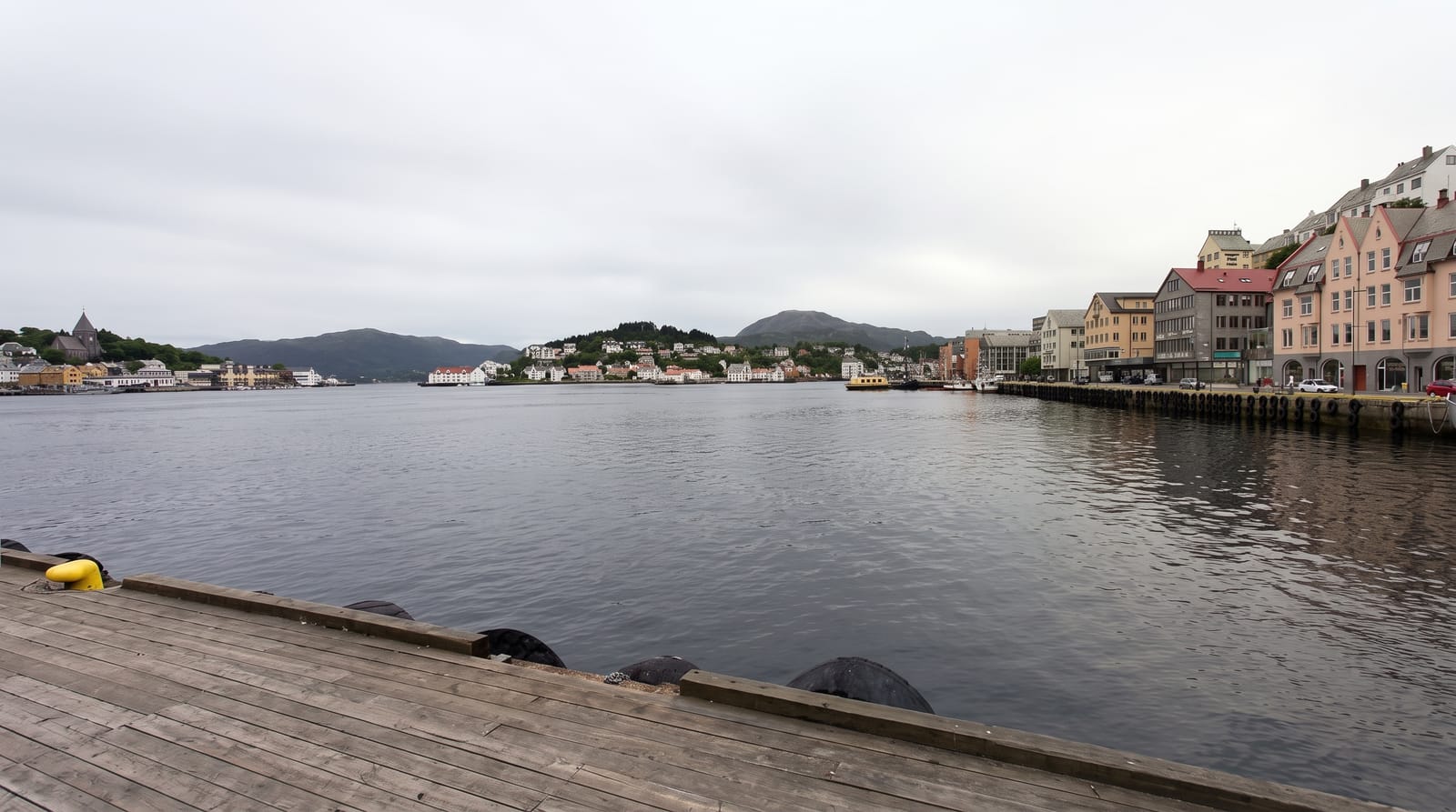
Bud sits where the land runs out on the Hustadvika coast, one of the most exposed and historically dangerous stretches of the Norwegian shore, and in the Middle Ages it was the biggest trading and fishing place between Bergen and Trondheim, with a national meeting held here in 1533. The village today is small, with white and ochre houses around a harbour, fish landing and a few places to eat. The Atlantic Road begins nearby, and the coastal route between Bud and Kristiansund is the reason most people come. Above the village, the Ergan coastal fort, built during the occupation and now a museum, occupies a low hill with tunnels and gun positions and a view over the open sea.
History
With a good natural harbour and rich fisheries, Bud became the largest village between Trondheim and Bergen in the Middle Ages, and in 1533, after the death of King Frederick I, Archbishop Olav Engelbrektsson held the last independent Norwegian Privy Council here. Bud became a municipality in 1838 and was merged into Fræna in 1964 (Wikipedia, Bud, Norway).
What's there
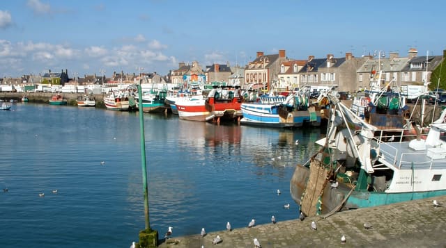
- The harbour village - white and ochre houses around a working quay.
- The Hustadvika coast - one of the most exposed shorelines in Norway.
- The Ergan hill - a wartime coastal installation preserved as a museum.
- The Atlantic Road - the celebrated coastal route beginning nearby.
When to go
May to September for open museums, cafes and the coastal drive; autumn storms on Hustadvika are spectacular from shore but make the sea route dangerous. Winter closes most facilities.
What to expect
The village is small and quiet outside summer, with limited eating and accommodation. It is a stop on a driving route rather than a destination in itself. Wind and rain are frequent on this coast in any season.
Nearby
The Atlantic Road runs north to Averoy; Molde, Trollkirka and the Romsdal fjords lie east.
Key facts
Source: Wikidata, item Q1000456, read on 18 October 2026.
What to pack for Bud
Chosen from what this place is for. Tap a kit for the full checklist.
- Travel rod + reel - A packable multi-piece rod fits in a case and covers most holiday fishing. Find on Amazon
- Comfortable walking shoes - Sightseeing means kilometres of pavement and cobbles daily. Find on Amazon
- A small tackle selection - Hooks, weights, line and a few lures or flies suited to local waters. Find on Amazon
- A slim anti-theft daypack - Zips that close properly; keep it in front in crowds and on transit. Find on Amazon
Some links on this page are Amazon affiliate links - if you buy through them we may earn a small commission at no extra cost to you.
All packing kitsPlan your trip
Where to start if Bud is going on the list.
Booking links on this page are affiliate links - if you book through them we may earn a small commission at no extra cost to you. It never changes what we write about a place.
Opening times, ticket prices and seasonal closures change - check the official source before you go: official site.