Meneng Point
The southeastern corner of the island, where the coast turns north.
Updated 3 September 2026
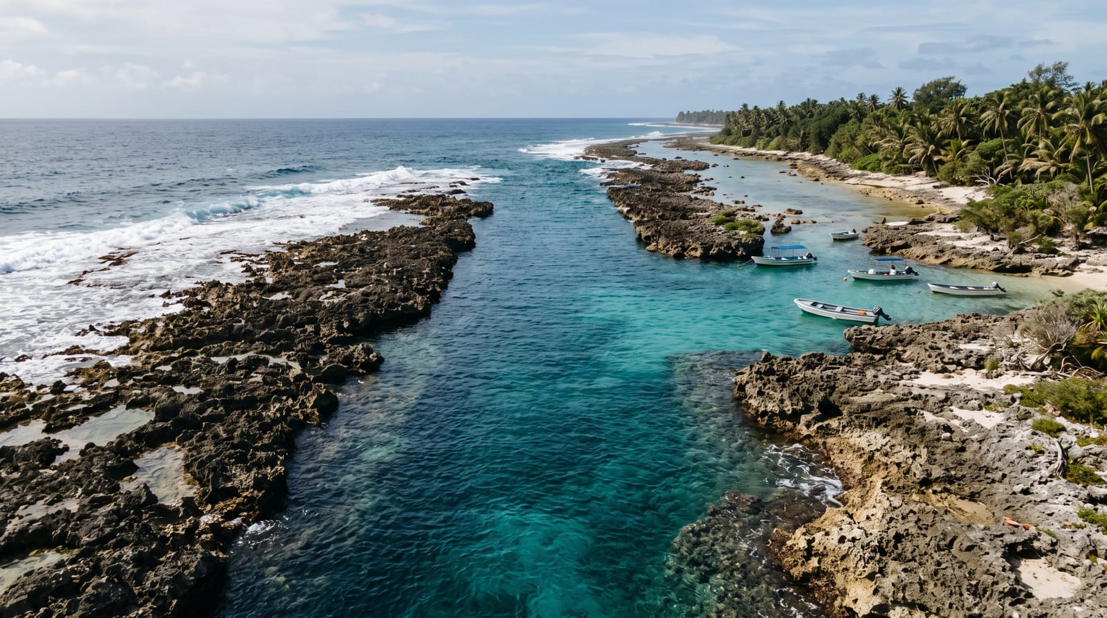
Meneng Point is the southeastern corner of Nauru, where the coast turns from the southern shore up toward Anibare, and the reef flat here is wide with limestone pinnacles standing out of it. The ring road follows the shore around the point. Meneng is one of the more populated districts and the shoreline is worked for fishing rather than used for anything else. The southeastern corner is where the airport road meets the eastern side of the ring.
Highlights
- The turning coast - the point where the shore swings north.
- The reef flat - the wide shelf running out from the point.
- The pinnacles - the weathered limestone standing out of the flat.
- The fishing - the shoreline worked from the reef edge.
When to go
March to October is the drier season. Tide governs the reef flat. November to February brings westerly weather.
Before you go
The reef is sharp and shoes are essential on the flat. Current at the reef edge is dangerous. There are no facilities and no shade at the point.
Nearby
Anibare is north, and Yaren is west.
What to pack for Meneng Point
Chosen from what this place is for. Tap a kit for the full checklist.
- Broken-in walking shoes or boots - Grip and ankle support matter more than looks; never hike in brand-new boots. Find on Amazon
- Travel rod + reel - A packable multi-piece rod fits in a case and covers most holiday fishing. Find on Amazon
- Layers + a waterproof shell - Mountain weather turns fast; a packable rain jacket saves the day. Find on Amazon
- A small tackle selection - Hooks, weights, line and a few lures or flies suited to local waters. Find on Amazon
Some links on this page are Amazon affiliate links - if you buy through them we may earn a small commission at no extra cost to you.
All packing kitsPlan your trip
Where to start if Meneng Point is going on the list.
Booking links on this page are affiliate links - if you book through them we may earn a small commission at no extra cost to you. It never changes what we write about a place.
Opening times, ticket prices and seasonal closures change - check the official source before you go: official site.