Mount Namuli
A granite massif above Gurue reaching 2,419 metres, the country's second highest, with sacred ground on the summit.
Updated 20 October 2026
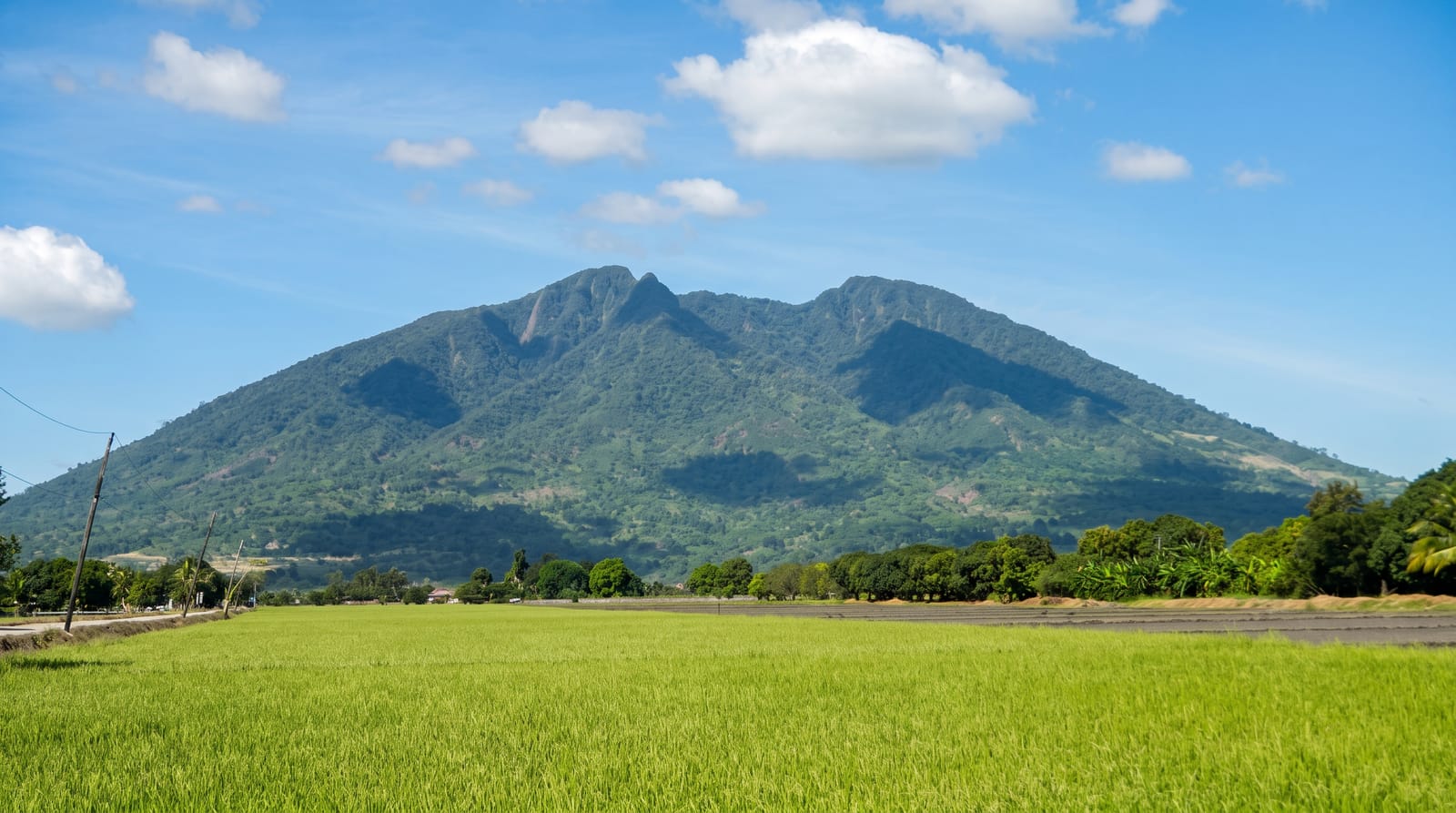
Namuli rises to 2,419 metres above the Gurue tea country, a granite dome with grassland, forest patches and streams on its flanks, and it is the second highest point in Mozambique. It is also sacred to the Makhuwa, who trace their origin to the mountain, and climbing it requires permission and an observance conducted by the local elders. Biologically it is significant: forest fragments on the slopes hold species found in very few other places.
History
Henry Edward O'Neill, the British consul in Mozambique, explored and surveyed the mountain in August 1886, and the expedition of Hubert Lynes and Jack Vincent in 1931-1932 made it known to ornithologists; a South African team was able to explore its forests in 1998, and in 2024 scientists proposed a new ecoregion including Namuli and the inselbergs around it (Wikipedia, Mount Namuli).
The landscape
- The granite dome - the summit massif rising above the surrounding hills.
- The forest fragments - patches on the slopes holding restricted species.
- The origin tradition - the Makhuwa account of their beginning on the mountain.
- The tea slopes - plantations on the lower ground on the approach.
When to go
May to September is the dry season and the practical climbing window. The rains from November to March make the routes slippery and dangerous. Nights on the mountain are cold.
Before you go
Permission and an observance with local elders are required before climbing; this is not optional and going up without it causes real offence. Guides must be arranged in Mukunha. There is no infrastructure, no marked route and no rescue.
Nearby
Gurue is below, and Mount Mabu is southeast.
Key facts
Source: Wikidata, item Q1516857, read on 18 October 2026.
What to pack for Mount Namuli
Chosen from what this place is for. Tap a kit for the full checklist.
- Broken-in walking shoes or boots - Grip and ankle support matter more than looks; never hike in brand-new boots. Find on Amazon
- Layers for big temperature swings - Warm sun by day, near-freezing at night, even near the equator. Find on Amazon
- Modest clothing - Shoulders and knees covered - the single most common requirement. Find on Amazon
- Shelter suited to the place - Tent, tarp or hut booking - match it to the terrain and rules. Find on Amazon
Some links on this page are Amazon affiliate links - if you buy through them we may earn a small commission at no extra cost to you.
All packing kitsPlan your trip
Where to start if Mount Namuli is going on the list.
Booking links on this page are affiliate links - if you book through them we may earn a small commission at no extra cost to you. It never changes what we write about a place.
Opening times, ticket prices and seasonal closures change - check the official source before you go: official site.