Jebel M'Goun
Morocco's second-highest massif at 4,071 metres, a long snow ridge with high pastures and a gorge trek below it.
Updated 21 October 2026
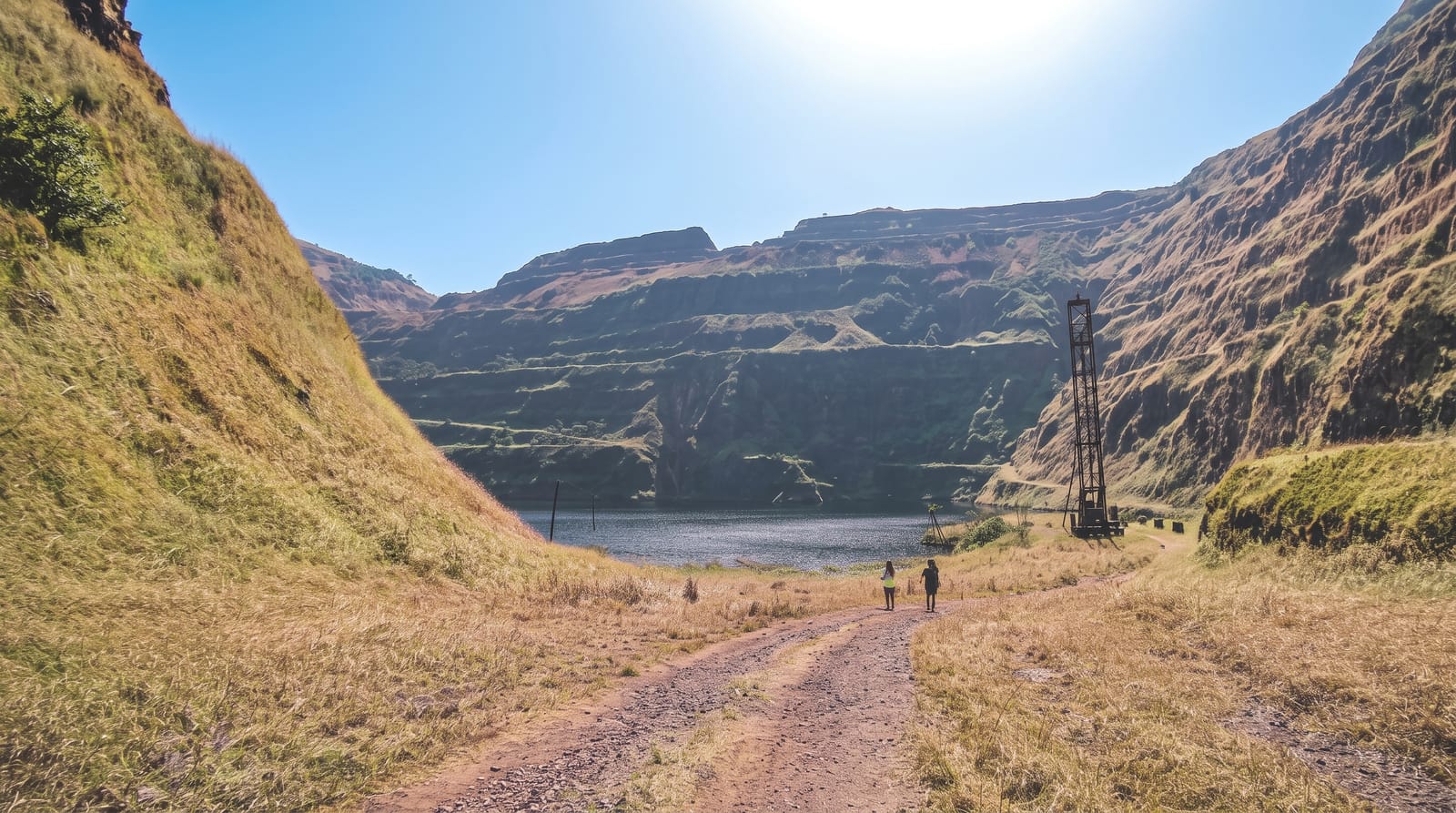
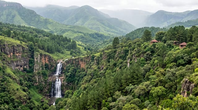
M'Goun reaches 4,071 metres and is the highest point of the Central High Atlas, the third-highest peak of the Atlas after Toubkal and Ouanoukrim, but the mountain is nothing like it: instead of a rocky cone it is a long undulating summit ridge of several kilometres above 3,800 metres, walked rather than climbed, with no technical difficulty in summer and enormous exposure to weather. The standard approach is from the Bou Guemez valley - green, terraced, with mud-built villages, and reachable by road - climbing over passes to high pastures where transhumant herders bring flocks in summer and live in stone shelters. Below the massif on the southern side the M'Goun gorges cut down towards Kelaat M'Gouna, and the classic trek walks over the mountain and down them, wading the river repeatedly for a day. Mules carry the loads and guides are effectively required; both are arranged in Tabant.
Highlights
- A four-thousand-metre ridge - several kilometres of summit walked rather than climbed.
- The Bou Guemez - a green terraced valley of mud villages as the approach.
- Summer pastures - herders and stone shelters on the high ground.
- The M'Goun gorges - a river descent on the southern side, waded repeatedly.
When to go
June to October; snow closes the passes outside that. Four to six days.
Good to know
This is a multi-day trek at altitude with no facilities - guides and mules are effectively required and are arranged in Tabant. Weather on the ridge changes fast and there is no shelter. The gorge descent involves repeated wading and cannot be done in high water. Altitude affects people at 4,000 metres.
Nearby
The Bou Guemez valley is north; Kelaat M'Gouna and the Rose Valley are south.
Key facts
Source: Wikidata, item Q3050555, read on 18 October 2026.
What to pack for Jebel M'Goun
Chosen from what this place is for. Tap a kit for the full checklist.
- Broken-in walking shoes or boots - Grip and ankle support matter more than looks; never hike in brand-new boots. Find on Amazon
- Warm base layers - Merino or synthetic against the skin - never cotton, which chills when damp. Find on Amazon
- Layers for big temperature swings - Warm sun by day, near-freezing at night, even near the equator. Find on Amazon
- Shelter suited to the place - Tent, tarp or hut booking - match it to the terrain and rules. Find on Amazon
Some links on this page are Amazon affiliate links - if you buy through them we may earn a small commission at no extra cost to you.
All packing kitsPlan your trip
Where to start if Jebel M'Goun is going on the list.
Booking links on this page are affiliate links - if you book through them we may earn a small commission at no extra cost to you. It never changes what we write about a place.
Opening times, ticket prices and seasonal closures change - check the official source before you go: official site.