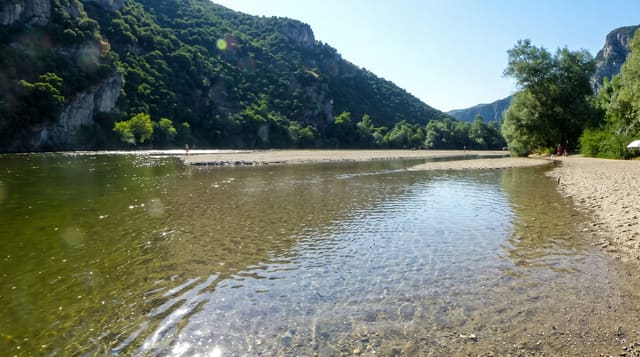
Chuluut River Gorge
A basalt canyon cut through the Arkhangai steppe, its columnar walls dropping twenty metres to the river below.
Updated 31 August 2026
The Chuluut river runs through a gorge cut into the same lava that covers this part of Arkhangai, and the walls show columnar basalt, hexagonal columns formed as the flow cooled, dropping around twenty metres to the water. From the steppe above there is no warning: the grassland simply stops at an edge, and the canyon appears below. Bridges cross it at a couple of points on the road west from Tsetserleg towards Khorgo and the Great White Lake, and the standard stop is at the bridge where visitors walk along the rim looking down. The river holds grayling and lenok and is fished by locals. There is nothing built here, no railing and no path beyond what feet have made, so the rim requires care, particularly with children.
What you'll find
- Columnar basalt - hexagonal rock columns in the gorge walls.
- The sudden edge - grassland ending abruptly at the canyon rim.
- The river below - fast water twenty metres down.
- Bridge crossings - the road points where the gorge is accessible.
When to go
June to September, when the road is open; the gorge is a roadside stop rather than a destination and takes under an hour. Morning and evening light shows the columns better than midday. Spring melt makes the river high and loud.
Before you go
There are no barriers at the rim and the drop is sheer; the ground can be undercut in places. No facilities exist. It is a brief stop on the way between Tsetserleg and the lake rather than somewhere to spend time.
Nearby
Terkhiin Tsagaan and Khorgo lie west; Tsetserleg is east.
What to pack for Chuluut River Gorge
Chosen from what this place is for. Tap a kit for the full checklist.
- Broken-in walking shoes or boots - Grip and ankle support matter more than looks; never hike in brand-new boots. Find on Amazon
- Layers + a waterproof shell - Mountain weather turns fast; a packable rain jacket saves the day. Find on Amazon
- Daypack with rain cover - 20-30 litres holds water, snacks, layers and a first-aid kit. Find on Amazon
- Offline maps + a power bank - Download the trail before you lose signal; carry backup charge. Find on Amazon
Some links on this page are Amazon affiliate links - if you buy through them we may earn a small commission at no extra cost to you.
All packing kitsPlan your trip
Where to start if Chuluut River Gorge is going on the list.
Booking links on this page are affiliate links - if you book through them we may earn a small commission at no extra cost to you. It never changes what we write about a place.
Opening times, ticket prices and seasonal closures change - check the official source before you go: official site.