Porcupine Gorge
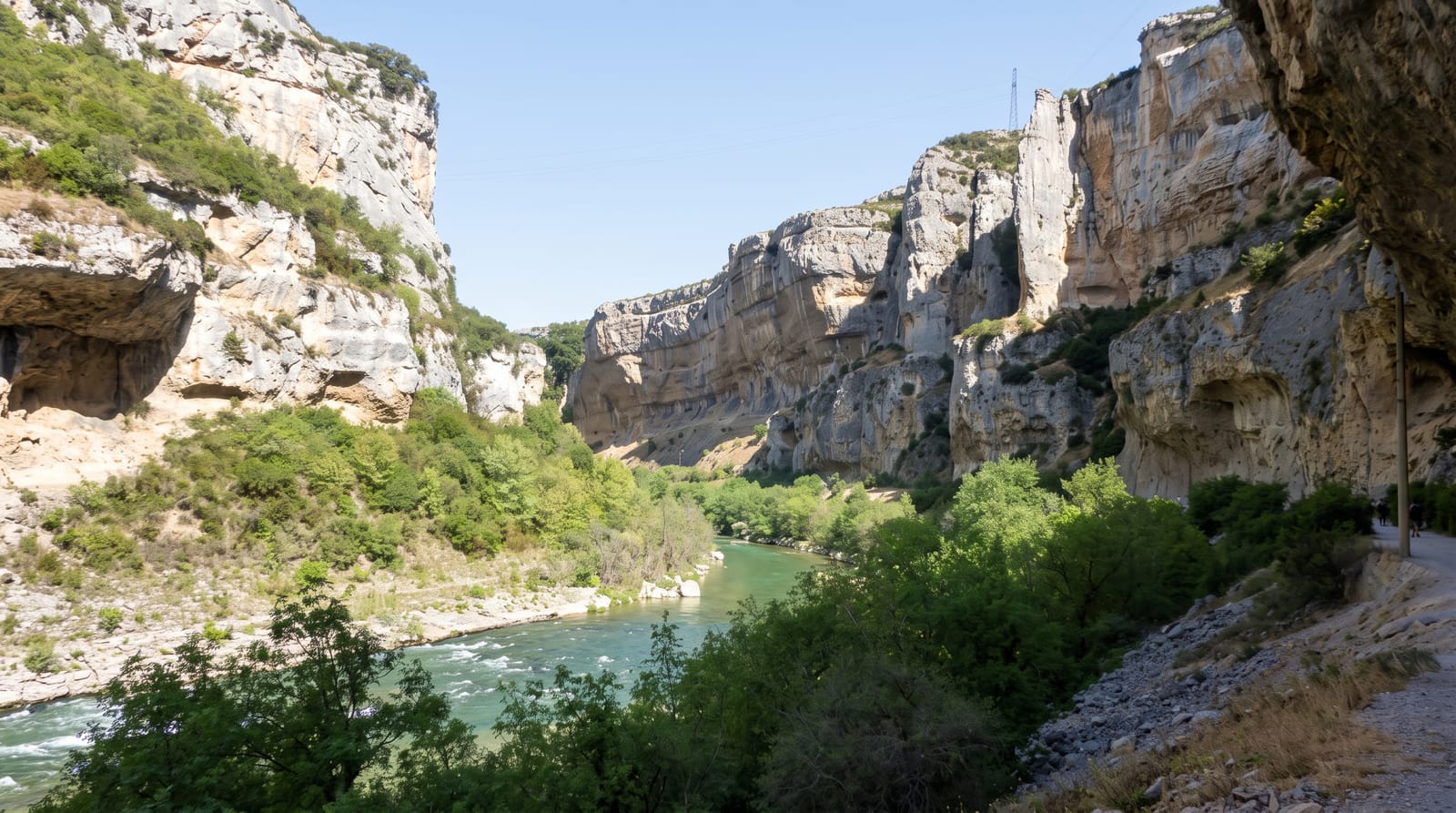
A canyon cut into layered sandstone and basalt in dry inland Queensland, with a pyramid of banded rock at its centre.
Updated 21 October 2026

AI illustration
Porcupine Creek has cut a deep gorge through the flat black-soil plains north of Hughenden, exposing layers of sandstone, basalt and older sediments in bands of red, white and grey. The Pyramid, a pointed formation of banded rock standing in the gorge floor, is the landmark, reached by a steep track of about a kilometre and a half that drops to the creek, where permanent waterholes support paperbarks, fish and birds in country that is otherwise parched. The contrast with the surrounding plain, treeless and featureless in every direction, is the point. A campground sits at the rim near the main lookout.
The landscape
- The Pyramid - the banded rock formation standing in the gorge floor.
- The layered walls - sandstone and basalt bands exposed by the creek.
- The waterholes - permanent pools with paperbarks in dry country.
- The plain above - flat treeless grassland pressing up to the rim.
When to go
April to September; summer temperatures pass forty degrees and the descent becomes dangerous. The wet season can cut roads. Winter nights are cold. Early morning is best for the descent and the light on the walls.
Before you go
The track to the floor is steep and the climb out is hard in heat, with no water on the way. Facilities are limited to a campground and pit toilets. Hughenden is an hour away and is the nearest fuel and supplies.
Nearby
Hughenden and its dinosaur museum lie south; Undara is far northeast.
Key facts
Source: Wikidata, item Q7230025, read on 18 October 2026.
What to pack for Porcupine Gorge
Chosen from what this place is for. Tap a kit for the full checklist.
- Broken-in walking shoes or boots - Grip and ankle support matter more than looks; never hike in brand-new boots. Find on Amazon
- Layers + a waterproof shell - Mountain weather turns fast; a packable rain jacket saves the day. Find on Amazon
- Daypack with rain cover - 20-30 litres holds water, snacks, layers and a first-aid kit. Find on Amazon
- Offline maps + a power bank - Download the trail before you lose signal; carry backup charge. Find on Amazon
Some links on this page are Amazon affiliate links - if you buy through them we may earn a small commission at no extra cost to you.
All packing kitsPlan your trip
Where to start if Porcupine Gorge is going on the list.
Booking links on this page are affiliate links - if you book through them we may earn a small commission at no extra cost to you. It never changes what we write about a place.
Opening times, ticket prices and seasonal closures change - check the official source before you go: official site.