Ajusco
The pine-covered volcano rising 3,930 metres above southern Mexico City - summit trails, meadow quesadillas and the capital's favorite lungful of thin air.
Updated 20 October 2026
AI illustration
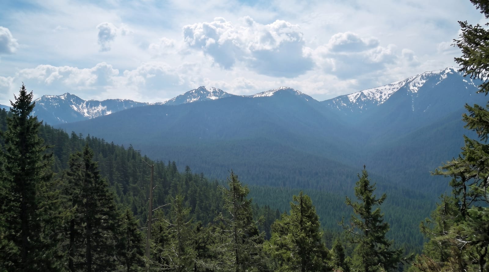
The Ajusco is the capital's rooftop - a forested volcanic massif closing the valley to the south, its twin summits Pico del Aguila and Cruz del Marques topping out around 3,930 metres. For chilangos it is the default escape: an hour from the center to pine woods, mountain meadows and air that makes the lungs work. The classic hike climbs from the highway meadows through pine and zacaton grassland to Pico del Aguila's rock crest, a three-to-five-hour round trip rewarded on clear days with the whole valley below and the snows of Popocatepetl, Iztaccihuatl and Nevado de Toluca ringing the horizon. Around the base, the ejido meadows run a cheerful weekend economy of quesadilla and blue-corn tlacoyo stands, horse rides, cabins and zip lines, while road cyclists grind the Picacho-Ajusco climb in packs. Xitle, the smaller cone on its slope, is the volcano whose eruption buried Cuicuilco under the Pedregal lava some 1,700 years ago.
History
Ajusco is a Náhuatl word translated as "source of waters" or "watered grove", and the Lerma and Balsas rivers draw some of their source waters from this area; the springs near the peak are captured for Mexico City's water supply (Wikipedia, Ajusco).
Highlights
- Pico del Aguila - the rocky summit crest above the treeline.
- The volcano ring - Popocatepetl to Nevado de Toluca on clear days.
- The meadows - weekend quesadilla stands and horse paddocks.
- Xitle - the small cone that made the Pedregal.
When to go
November to April mornings for the clear-summit window - start early, as cloud builds by noon year-round. Summer turns the grasslands green but hides the views by mid-morning.
What to expect
The summit is nearly 4,000 metres: pace, water and sun protection matter, and lowlanders feel the altitude hard. Trails brand into multiple paths - the popular routes are obvious, but mist demands respect. Weekends are sociable, not solitary.
Nearby
Cuicuilco's pyramid and the UNAM campus lie at the mountain's foot; Six Flags fills the lower slopes with weekend noise.
Key facts
Source: Wikidata, item Q3505665, read on 18 October 2026.
What to pack for Ajusco
Chosen from what this place is for. Tap a kit for the full checklist.
- Broken-in walking shoes or boots - Grip and ankle support matter more than looks; never hike in brand-new boots. Find on Amazon
- Padded shorts - The one thing that makes a full day in the saddle bearable. Find on Amazon
- Layers for big temperature swings - Warm sun by day, near-freezing at night, even near the equator. Find on Amazon
- Layers + a waterproof shell - Mountain weather turns fast; a packable rain jacket saves the day. Find on Amazon
Some links on this page are Amazon affiliate links - if you buy through them we may earn a small commission at no extra cost to you.
All packing kitsPlan your trip
Where to start if Ajusco is going on the list.
Booking links on this page are affiliate links - if you book through them we may earn a small commission at no extra cost to you. It never changes what we write about a place.
Opening times, ticket prices and seasonal closures change - check the official source before you go: official site.