Flat Island and Ilot Gabriel
Two low islands north of Mauritius with a lighthouse, an old quarantine station and a shallow lagoon between them.
Updated 14 October 2026
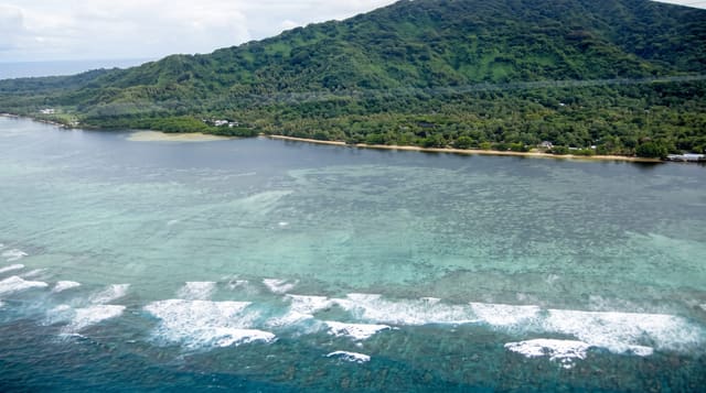
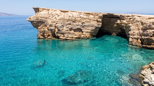
Flat Island, Ile Plate, lies about eleven kilometres north of Mauritius, a low coral and basalt island with a lighthouse built in 1855 on the adjoining Pigeon Rock and the remains of a quarantine station where arriving ships were held during nineteenth-century epidemics; a cemetery from that period survives. Ilot Gabriel sits just south of it, separated by a shallow channel of very clear water that is the reason most trips come: the lagoon between the two islands is sheltered, sandy and good for swimming and snorkelling. Day trips from Grand Baie take an hour and a half each way by catamaran, usually with a barbecue lunch on the beach. Both islands are nature reserves and part of a restoration programme.
Highlights
- The lagoon channel - the shallow clear water between the two islands.
- The lighthouse - the 1855 tower on Pigeon Rock.
- Quarantine ruins - the station buildings and cemetery on Flat Island.
- Beach and reef - the sand and snorkelling ground on Ilot Gabriel.
When to go
May to December for calmer crossings. The trip is long and exposed, so rough weather cancels it or makes it unpleasant. Book early in the day; boats leave Grand Baie in the morning.
Practical notes
The crossing takes about ninety minutes each way and seas can be rough enough to cause seasickness. Trips are packaged with fixed timings and can be crowded when several boats arrive together. There is no shade or facilities beyond what the boat brings.
Nearby
Coin de Mire lies between the islands and the coast; Grand Baie is the departure point.
What to pack for Flat Island and Ilot Gabriel
Chosen from what this place is for. Tap a kit for the full checklist.
- Reef-safe sunscreen - High SPF that will not bleach the coral you are swimming over. Find on Amazon
- Your own mask + snorkel - A well-fitting mask is the single biggest comfort upgrade underwater. Find on Amazon
- Quick-dry towel - A microfibre towel packs small and dries in minutes. Find on Amazon
- Rash guard or thin wetsuit - Sun cover on the surface and warmth on longer or deeper dives. Find on Amazon
Some links on this page are Amazon affiliate links - if you buy through them we may earn a small commission at no extra cost to you.
All packing kitsPlan your trip
Where to start if Flat Island and Ilot Gabriel is going on the list.
Booking links on this page are affiliate links - if you book through them we may earn a small commission at no extra cost to you. It never changes what we write about a place.
Opening times, ticket prices and seasonal closures change - check the official source before you go: official site.