Mejit Island
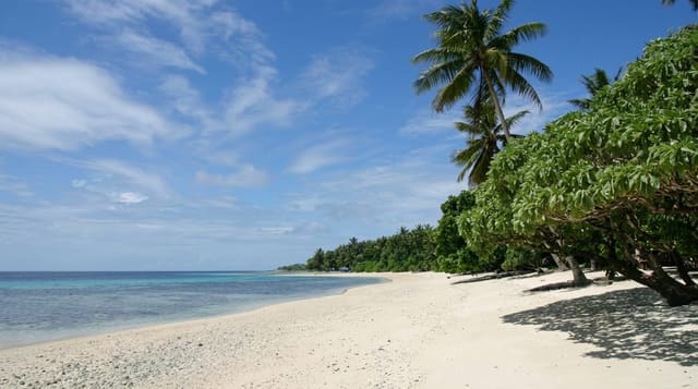
A single coral island without a lagoon, unusually green for the Marshalls.
Updated 16 October 2026
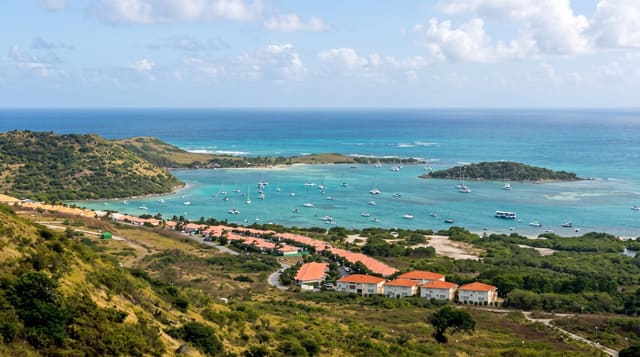
Mejit is one of the few Marshallese islands that is not an atoll: a single piece of raised coral land with no lagoon at all, ringed by beach and surf, with a freshwater taro swamp inland that lets the island grow crops most of the country cannot. Around three hundred people live there. Landing is on the beach through surf because there is no sheltered water. The island is only around two kilometres long and the whole of it can be walked in a morning.
Background
In Marshallese the island is Mājej, and it is one of the legislative districts of the Ratak Chain. It lies east of the main line of the chain, approximately 110 kilometres northeast of Wotje, and covers 1.86 square kilometres. A fringing coral reef surrounds it. The 2021 census counted 230 residents. Pandanus, breadfruit and taro grow well, the island is known for its pandanus leaf mats, and a lake of fresh water, unusual for the Marshall Islands, holds native ducks. Mejit Airport runs across the middle of the island. Spanish expeditions recorded sightings in December 1542 and on 9 January 1565, and Otto von Kotzebue landed on January 1, 1817, calling it New Year's Island.
Source: Wikipedia, "Mejit Island"
What's there
- The single island - land with no lagoon and no ring of islets.
- The taro swamp - the freshwater ground that supports the crops.
- The surf landing - arrival through the break with no sheltered water.
- The green interior - vegetation heavier than most Marshallese islands.
When to go
December to April is the drier and calmer season. Landings depend entirely on surf conditions. The wet season brings heavier weather.
What to expect
Landing depends on the surf and boats are turned back regularly. Transport is irregular. There is no accommodation beyond community arrangements.
Nearby
Ailuk is west, and Wotje is south.
Key facts
Source: Wikidata, item Q703543, read on 18 October 2026.
What to pack for Mejit Island
Chosen from what this place is for. Tap a kit for the full checklist.
- Reef-safe sunscreen - High SPF that will not bleach the coral you are swimming over. Find on Amazon
- Quick-dry clothing - Board shorts or synthetics that shrug off spray and dry fast. Find on Amazon
- Shelter suited to the place - Tent, tarp or hut booking - match it to the terrain and rules. Find on Amazon
- Quick-dry towel - A microfibre towel packs small and dries in minutes. Find on Amazon
Some links on this page are Amazon affiliate links - if you buy through them we may earn a small commission at no extra cost to you.
All packing kitsPlan your trip
Where to start if Mejit Island is going on the list.
Booking links on this page are affiliate links - if you book through them we may earn a small commission at no extra cost to you. It never changes what we write about a place.
Opening times, ticket prices and seasonal closures change - check the official source before you go: official site.