The Tip of Borneo
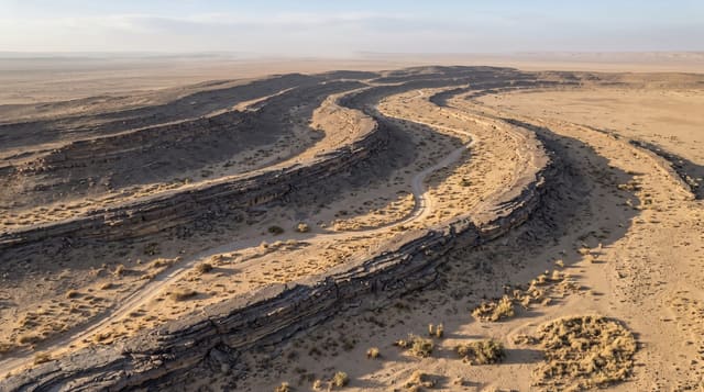
The rocky headland at the northern end of Borneo near Kudat, where two seas meet below a wind-scoured point.
Updated 20 October 2026
Tanjung Simpang Mengayau is the northernmost point of mainland Borneo, a spit of dark rock running out into water where the South China Sea meets the Sulu Sea. A brass globe marks the spot, and a paved path leads down from the car park to the ledges, where you can scramble over rock pools if the swell is low. The drive up from Kota Kinabalu takes about three hours through rice fields, coconut plantations and Rungus villages, and most people break it at Kalampunian beach, a long curve of pale sand just west of the point that is usually close to empty. Timing the visit for sunset is the main reason to stay overnight near Kudat.
History
The original name, Tanjung Sampang Mangazou, comes from the Rungus language, from words for "cape", "union" and "battle", and local Chinese call the place Den Foh Liew, Hakka for "lighthouse", after the light on nearby Kalampunian Island (Wikipedia, Tip of Borneo).
Highlights
- The rock ledges - the dark headland running out into open water at the point.
- The globe marker - the brass monument set at the northern tip.
- Kalampunian beach - the wide, usually empty bay a short walk west.
- Rungus country - the villages and longhouses passed on the drive up.
When to go
March to September is drier and the sea calmer, which matters if you want to scramble on the rocks. Late afternoon into sunset gives the best light and the coolest hour, but that means driving back to Kota Kinabalu in the dark or staying near Kudat. Weekends bring local day-trippers and a small row of stalls.
What to expect
Three hours each way is a long drive for a headland, and doing it as a day trip means most of the day in a car. There is almost no shade at the point and the wind is constant. Swimming at the tip is unsafe because of currents, so the beach nearby is the place for that. Facilities amount to a few stalls.
Nearby
Kudat town and its beaches; the Rungus longhouses at Bavanggazo are on the way up.
Key facts
Source: Wikidata, item Q2392815, read on 18 October 2026.
What to pack for The Tip of Borneo
Chosen from what this place is for. Tap a kit for the full checklist.
- Broken-in walking shoes or boots - Grip and ankle support matter more than looks; never hike in brand-new boots. Find on Amazon
- Reef-safe sunscreen - High SPF that will not bleach the coral you are swimming over. Find on Amazon
- Spare batteries + cards - Cold and long shoots drain power; never run out at the good light. Find on Amazon
- Shelter suited to the place - Tent, tarp or hut booking - match it to the terrain and rules. Find on Amazon
Some links on this page are Amazon affiliate links - if you buy through them we may earn a small commission at no extra cost to you.
All packing kitsPlan your trip
Where to start if The Tip of Borneo is going on the list.
Booking links on this page are affiliate links - if you book through them we may earn a small commission at no extra cost to you. It never changes what we write about a place.
Opening times, ticket prices and seasonal closures change - check the official source before you go: official site.