Kokol Hill
A ridge above Kota Kinabalu with a night view over the whole city and Kinabalu behind it at dawn.
Updated 29 August 2026
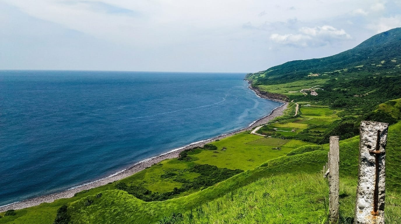
Kokol is a ridge north-east of Kota Kinabalu, reached by a steep and tightly winding road up from Menggatal, and it rises high enough - around a thousand metres at the top - to be cool and to look down on the entire city, the coastal plain and the islands, with Mount Kinabalu standing to the east behind it. That combination has produced a strip of hillside cafes, glamping sites, chalets and paragliding launches along the ridge road, all selling the same view from slightly different angles: the city lights spread out at night, and on a clear morning the mountain with mist in the valleys below. It is a straightforward drive-up viewpoint rather than a walk, it fills at weekends, and the road is the limiting factor.
Highlights
- The city from above - Kota Kinabalu, the plain and the islands spread out below.
- Kinabalu to the east - the mountain behind the ridge on clear mornings.
- Ridge-top cafes - the strip of viewpoint cafes and glamping sites.
- Paragliding launches - flights off the ridge in the right conditions.
When to go
All year; dawn for the mountain, evening for the city lights. Half a day.
Practical notes
The road up is steep, narrow and hairpinned - not for nervous drivers, and hard on a small car. Cloud closes the view often. Weekends are congested and cafes charge for the view.
Nearby
Kota Kinabalu is below; Tuaran and Tamparuli are north.
What to pack for Kokol Hill
Chosen from what this place is for. Tap a kit for the full checklist.
- Comfortable walking shoes - Sightseeing means kilometres of pavement and cobbles daily. Find on Amazon
- A slim anti-theft daypack - Zips that close properly; keep it in front in crowds and on transit. Find on Amazon
- A refillable water bottle - Many cities have public fountains; save money and plastic. Find on Amazon
- A light layer + compact umbrella - For museum air-con and a sudden shower. Find on Amazon
Some links on this page are Amazon affiliate links - if you buy through them we may earn a small commission at no extra cost to you.
All packing kitsPlan your trip
Where to start if Kokol Hill is going on the list.
Booking links on this page are affiliate links - if you book through them we may earn a small commission at no extra cost to you. It never changes what we write about a place.
Opening times, ticket prices and seasonal closures change - check the official source before you go: official site.