Chemerong Waterfall
One of the tallest falls in Southeast Asia, a 305-metre slide down bare rock reached by a hard forest trek.
Updated 21 October 2026
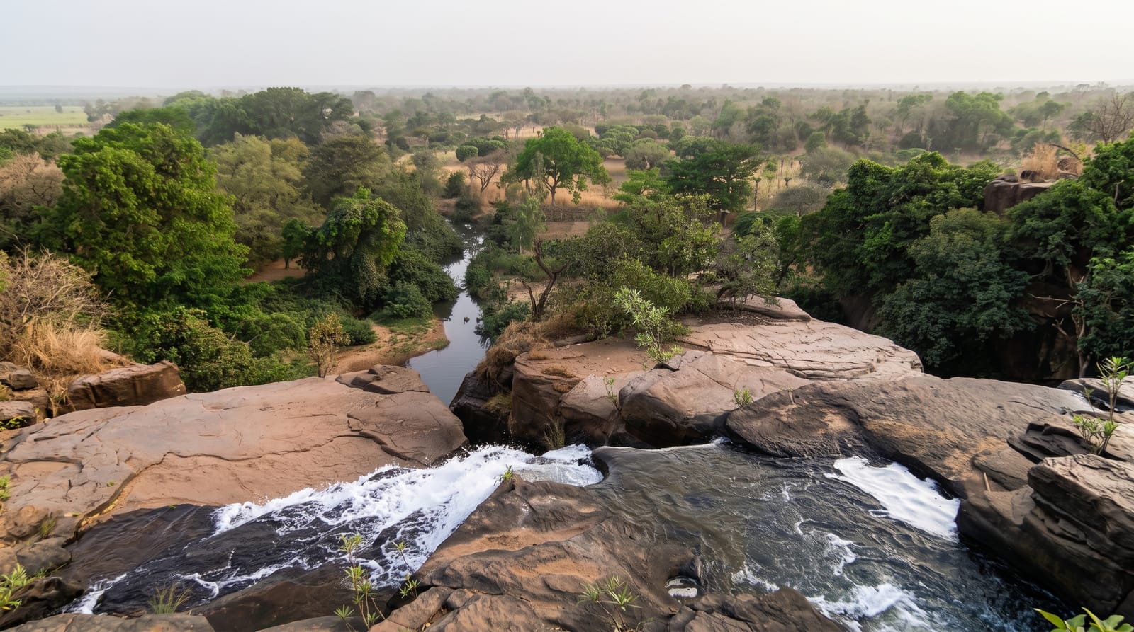
Chemerong is the middle name in the Chemerong-Berembun-Langsir trek, usually shortened to CBL, which is one of the more demanding multi-day hikes in the peninsula, and the waterfall is what most people come for: a slab of exposed granite roughly three hundred metres high with the stream running down its face, wide and open with the forest cut back on either side, which makes it look and feel entirely unlike the enclosed tiered falls elsewhere in Malaysia. Reaching the base is a couple of hours of steady climbing from the trailhead through leech-heavy forest with river crossings; camping at the foot is normal, and going on to Berembun and Langsir turns it into a two or three day route. Guides are required and permits are issued at the forestry office.
Highlights
- A 305-metre rock slab - the stream running down open granite, unusually exposed.
- A hard approach trek - a couple of hours of climbing with river crossings.
- Camping at the base - the normal arrangement, with the fall above the tents.
- The CBL route - the continuation over Berembun and Langsir.
When to go
March to September; avoid the monsoon entirely. Two days.
What to expect
Permits and a guide are compulsory. The trek is genuinely hard and leeches are constant. Rock at the base is slick. The route closes in heavy rain.
Nearby
Sekayu waterfall and Kenyir Lake are north-west; Ajil is the nearest town.
What to pack for Chemerong Waterfall
Chosen from what this place is for. Tap a kit for the full checklist.
- Broken-in walking shoes or boots - Grip and ankle support matter more than looks; never hike in brand-new boots. Find on Amazon
- Strong insect repellent - DEET or picaridin; the jungle is where bites and disease risk are highest. Find on Amazon
- Shelter suited to the place - Tent, tarp or hut booking - match it to the terrain and rules. Find on Amazon
- Layers + a waterproof shell - Mountain weather turns fast; a packable rain jacket saves the day. Find on Amazon
Some links on this page are Amazon affiliate links - if you buy through them we may earn a small commission at no extra cost to you.
All packing kitsPlan your trip
Where to start if Chemerong Waterfall is going on the list.
Booking links on this page are affiliate links - if you book through them we may earn a small commission at no extra cost to you. It never changes what we write about a place.
Opening times, ticket prices and seasonal closures change - check the official source before you go: official site.