Kapas Island
A small east-coast island of white sand and clear shallow water, fifteen minutes offshore and deliberately undeveloped.
Updated 29 August 2026
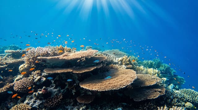
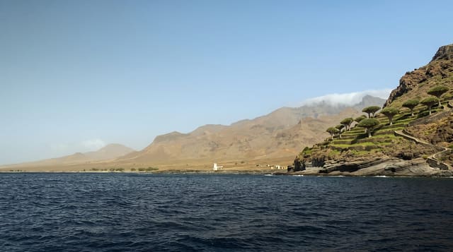
Kapas means cotton, for the sand, and the island is small - two kilometres by less than one - lying a quarter of an hour off Marang with a string of beaches on the sheltered western side and cliffs and forest behind. It is a marine park, the water is shallow and clear enough to snorkel straight from the sand, and the coral, while not the standard of the Perhentians, is close and easy. What sets Kapas apart is scale: there is no proper road, no town, a handful of small chalet places, no nightlife to speak of, and it is possible to walk the length of the inhabited coast in half an hour. A trail crosses the spine to the quieter eastern beaches. Pulau Gemia sits just off the north end. Everything closes for the monsoon.
What you'll find
- White sand beaches - a string of them along the sheltered western side.
- Snorkelling from the shore - shallow clear water with coral close in.
- A crossing trail - over the forested spine to the empty eastern beaches.
- Almost no development - small chalets, no town, no road.
When to go
March to October; closed for the monsoon. Two days.
Practical notes
It closes entirely from about November to February. Facilities are basic and power can be limited. Coral shows bleaching in places. Day-trippers crowd the main beach at midday.
Nearby
Marang is the mainland jetty; Kuala Terengganu is north.
Key facts
Source: Wikidata, item Q2004034, read on 18 October 2026.
What to pack for Kapas Island
Chosen from what this place is for. Tap a kit for the full checklist.
- Broken-in walking shoes or boots - Grip and ankle support matter more than looks; never hike in brand-new boots. Find on Amazon
- Reef-safe sunscreen - High SPF that will not bleach the coral you are swimming over. Find on Amazon
- Your own mask + snorkel - A well-fitting mask is the single biggest comfort upgrade underwater. Find on Amazon
- Strong insect repellent - DEET or picaridin; the jungle is where bites and disease risk are highest. Find on Amazon
Some links on this page are Amazon affiliate links - if you buy through them we may earn a small commission at no extra cost to you.
All packing kitsPlan your trip
Where to start if Kapas Island is going on the list.
Booking links on this page are affiliate links - if you book through them we may earn a small commission at no extra cost to you. It never changes what we write about a place.
Opening times, ticket prices and seasonal closures change - check the official source before you go: official site.