Michiru Mountain
A conservation area on the edge of Blantyre, with walking trails and views over the city.
Updated 2 September 2026
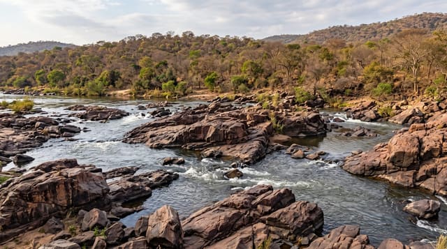
Michiru rises to just over fifteen hundred metres on the western edge of Blantyre and was made a conservation area to protect the woodland on it and the city's water catchment. Trails of different lengths run from the gate through miombo and patches of evergreen forest to viewpoints and the summit, and the birding is good for a site this close to a city. Baboons, klipspringer and duiker are on the mountain.
Highlights
- The summit trail - the route to the top at just over fifteen hundred metres.
- The Blantyre view - the city spread out below from the viewpoints.
- The woodland - miombo and evergreen patches on the slopes.
- The birding - the species list for a site on a city edge.
When to go
May to October is the dry season and best for walking. Mornings are coolest and best for birds. The rains make the trails muddy.
What to expect
Trail marking is patchy and a map or guide helps. Encroachment and firewood cutting have affected the lower slopes. Walking alone is not advisable.
Nearby
Blantyre is east, and Thyolo is south.
Key facts
Source: Wikidata, item Q16895079, read on 18 October 2026.
What to pack for Michiru Mountain
Chosen from what this place is for. Tap a kit for the full checklist.
- Broken-in walking shoes or boots - Grip and ankle support matter more than looks; never hike in brand-new boots. Find on Amazon
- Layers for big temperature swings - Warm sun by day, near-freezing at night, even near the equator. Find on Amazon
- Layers + a waterproof shell - Mountain weather turns fast; a packable rain jacket saves the day. Find on Amazon
- Extra-strong sun protection - Thin air means fierce UV; hat, sunglasses and high-SPF sunscreen. Find on Amazon
Some links on this page are Amazon affiliate links - if you buy through them we may earn a small commission at no extra cost to you.
All packing kitsPlan your trip
Where to start if Michiru Mountain is going on the list.
Booking links on this page are affiliate links - if you book through them we may earn a small commission at no extra cost to you. It never changes what we write about a place.
Opening times, ticket prices and seasonal closures change - check the official source before you go: official site.