Tsiribihina River
A two or three day pirogue descent through gorges and villages, the classic slow journey across western Madagascar.
Updated 31 August 2026
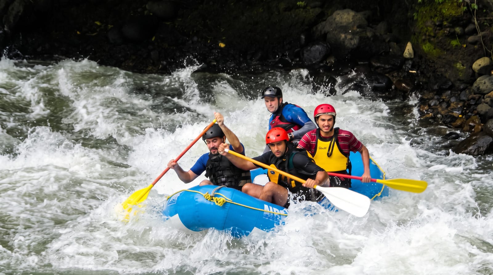
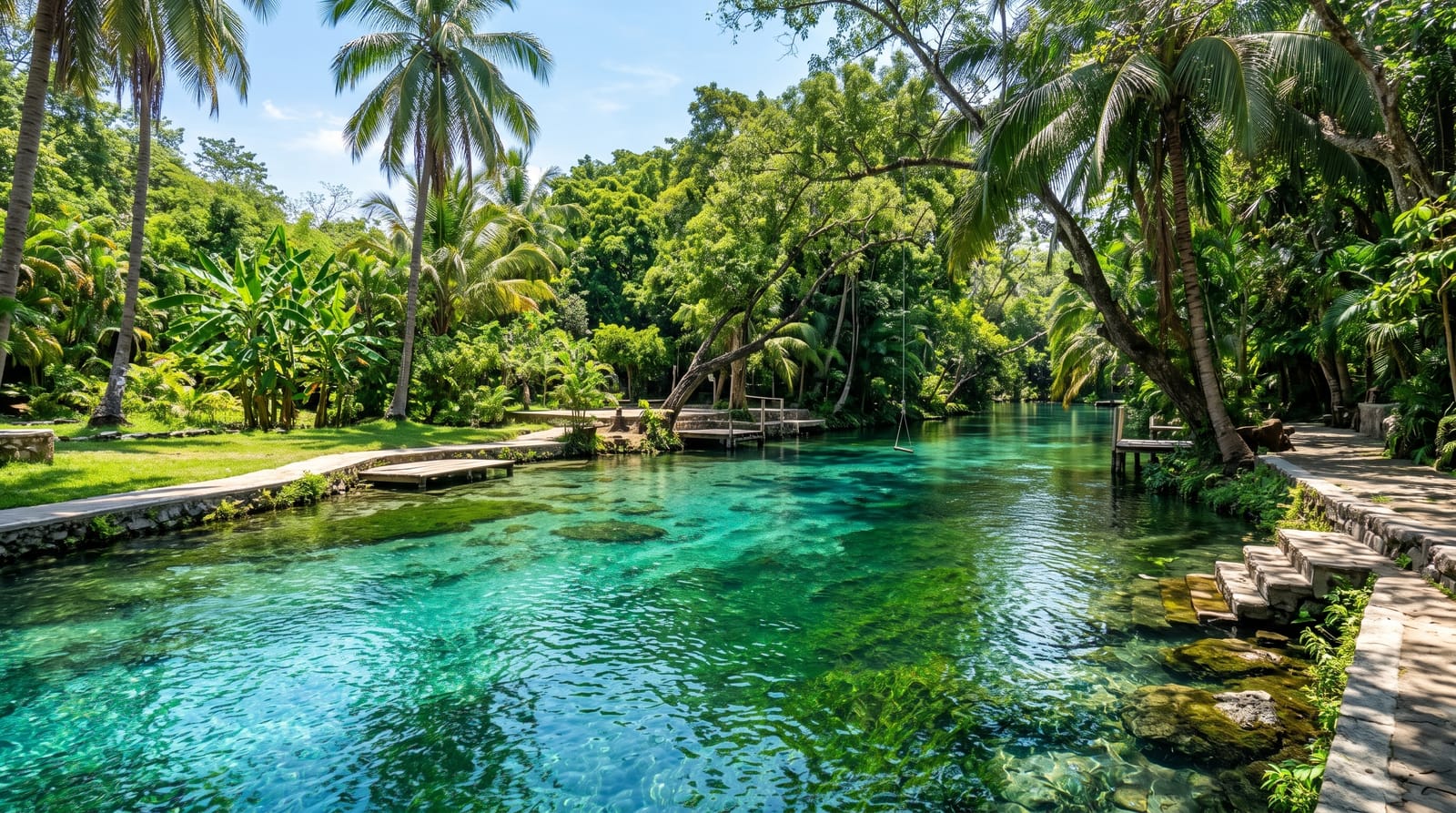
The Tsiribihina descent runs about 150 kilometres from Miandrivazo down to Belo sur Tsiribihina, taking two or three days in a dugout pirogue paddled and poled by a crew, or rather faster on a motorised chaland barge. The river passes through a gorge with waterfalls that boats stop at for swimming, then opens into wide braided channels between sandbanks, with villages, zebu herds and lemurs and birds along the banks. Nights are spent camping on sandbars, cooking on fires, which is much of the appeal. It is not white water: the river is placid, and this is a slow journey rather than an adventure sport. Most travellers do it as the approach to the Tsingy de Bemaraha, continuing by road from Belo.
What you'll find
- The gorge and waterfalls - swimming stops on the first day.
- Sandbank camps - nights on the river under the open sky.
- River villages - settlements, zebu herds and crossings along the banks.
- Lemurs and birds - wildlife in the gallery forest on the banks.
When to go
April to November, with water levels highest early in that window. Late in the dry season the river drops and boats ground on sandbars, which slows everything. December to March is the wet season and trips do not run.
Things to know
This is camping without facilities: no toilets, no shower, sun all day on an open boat. Pirogue trips take three days and are slow; the motorised barge is faster but noisy. Crews and equipment vary enormously in quality, so the operator matters more than the price. Sunburn and dehydration are the real risks.
Nearby
Belo sur Tsiribihina is the end point; Tsingy de Bemaraha lies north of it.
Key facts
Source: Wikidata, item Q1419861, read on 18 October 2026.
What to pack for Tsiribihina River
Chosen from what this place is for. Tap a kit for the full checklist.
- Reef-safe sunscreen - High SPF that will not bleach the coral you are swimming over. Find on Amazon
- Quick-dry clothing - Board shorts or synthetics that shrug off spray and dry fast. Find on Amazon
- Binoculars - The single best wildlife tool - even a compact pair transforms a sighting. Find on Amazon
- Comfortable walking shoes - Sightseeing means kilometres of pavement and cobbles daily. Find on Amazon
Some links on this page are Amazon affiliate links - if you buy through them we may earn a small commission at no extra cost to you.
All packing kitsPlan your trip
Where to start if Tsiribihina River is going on the list.
Booking links on this page are affiliate links - if you book through them we may earn a small commission at no extra cost to you. It never changes what we write about a place.
Opening times, ticket prices and seasonal closures change - check the official source before you go: official site.