Canal des Pangalanes
A chain of lagoons and cut channels running hundreds of kilometres behind the east coast, still a working waterway.
Updated 31 October 2026
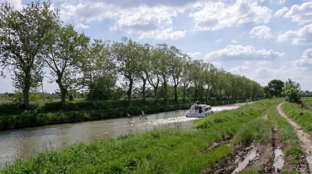
The Pangalanes is a line of natural lagoons linked by dug channels, running roughly 650 kilometres parallel to the east coast a short distance inland, and it was built to move freight along a shore where the surf makes landing dangerous. Much of it silted up and only sections are navigable now, but those sections are still working water: pirogues carrying charcoal, fish and produce, villages built along the banks with no road access, and children swimming off the landings. Boat trips run from Toamasina south to Manambato and Ankanin'ny Nofy, where lodges sit between the lagoon and the ocean, with lemur reserves nearby. It is a slow way to travel and the interest is in the daily life along the banks rather than in dramatic scenery.
History
France began the canal under Governor Joseph Gallieni between 1896 and 1904 to boost trade and give cargo boats bound for Toamasina a safe route instead of the open coast, and more work from 1949 to 1957 let 30-ton barges travel the 160 kilometres between Tamatave and Vatomandry (Wikipedia, Canal des Pangalanes).
What to look for
- Working pirogues - cargo and fishing canoes on the channels.
- Bank villages - settlements reachable only by water.
- Lagoon and dune - the narrow strip between canal and ocean.
- Lodges at Ankanin'ny Nofy - the main visitor stretch of the waterway.
When to go
April to November for drier and calmer conditions. Water levels and silting decide which sections are passable, so routes change. Cyclone season disrupts boats and damages the banks.
Practical notes
Only parts of the canal are navigable and long through-journeys are not realistic. Boats are open and slow, and the sun is punishing. Some stretches are polluted and choked with weed. Trips are arranged privately and prices vary widely, so agreeing terms beforehand matters.
Nearby
Palmarium reserve is on the canal; Toamasina lies north.
Key facts
Source: Wikidata, item Q1032650, read on 18 October 2026.
What to pack for Canal des Pangalanes
Chosen from what this place is for. Tap a kit for the full checklist.
- Travel rod + reel - A packable multi-piece rod fits in a case and covers most holiday fishing. Find on Amazon
- Reef-safe sunscreen - High SPF that will not bleach the coral you are swimming over. Find on Amazon
- Quick-dry clothing - Board shorts or synthetics that shrug off spray and dry fast. Find on Amazon
- Binoculars - The single best wildlife tool - even a compact pair transforms a sighting. Find on Amazon
Some links on this page are Amazon affiliate links - if you buy through them we may earn a small commission at no extra cost to you.
All packing kitsPlan your trip
Where to start if Canal des Pangalanes is going on the list.
Booking links on this page are affiliate links - if you book through them we may earn a small commission at no extra cost to you. It never changes what we write about a place.
Opening times, ticket prices and seasonal closures change - check the official source before you go: official site.