Kyrgyz-Ata National Park
A juniper-forested valley in the Alay foothills south of Osh, quiet walking country with rock faces above.
Updated 31 August 2026
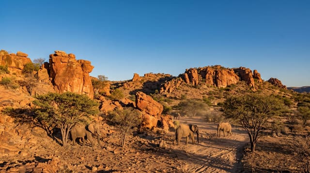
Kyrgyz-Ata protects a valley in the northern foothills of the Alay range where archa, the Tien Shan juniper, grows on the slopes in old stands, some of the trees centuries old. The valley floor has a river, picnic areas and a campsite, and paths climb through the juniper to open pasture and rock faces used by climbers. It is the closest real mountain country to Osh, an hour's drive, which makes it a common weekend destination for the city and quiet during the week. Sacred sites and springs are scattered through the valley and visited by local pilgrims. Facilities are limited to a park gate, a few yurts and a basic camp, and the walking is unmarked, so routes are worked out on the ground.
What's there
- Old juniper stands - archa forest on the valley slopes.
- Rock faces - climbing walls above the treeline.
- Sacred springs - local pilgrimage spots along the valley.
- Summer pastures - open grazing above the forest.
When to go
May to October, with June for wildflowers and September for settled weather. Snow closes the upper valley in winter. Weekends bring picnic crowds from Osh; weekdays are empty.
Good to know
Infrastructure is minimal and trails are unmarked. Accommodation is camping or a few yurts. Litter at the picnic areas is a problem. The access road is rough beyond the village. There is no shop past the park gate.
Nearby
Abshir-Ata lies west; Osh is north.
Key facts
Source: Wikidata, item Q97354959, read on 18 October 2026.
What to pack for Kyrgyz-Ata National Park
Chosen from what this place is for. Tap a kit for the full checklist.
- Broken-in walking shoes or boots - Grip and ankle support matter more than looks; never hike in brand-new boots. Find on Amazon
- Binoculars - The single best wildlife tool - even a compact pair transforms a sighting. Find on Amazon
- Warm base layers - Merino or synthetic against the skin - never cotton, which chills when damp. Find on Amazon
- Modest clothing - Shoulders and knees covered - the single most common requirement. Find on Amazon
Some links on this page are Amazon affiliate links - if you buy through them we may earn a small commission at no extra cost to you.
All packing kitsPlan your trip
Where to start if Kyrgyz-Ata National Park is going on the list.
Booking links on this page are affiliate links - if you book through them we may earn a small commission at no extra cost to you. It never changes what we write about a place.
Opening times, ticket prices and seasonal closures change - check the official source before you go: official site.