Tzoumerka National Park
A wall of limestone peaks above the Arachthos, cut by waterfalls, gorges and stone villages on impossible slopes.
Updated 4 September 2026

AI illustration
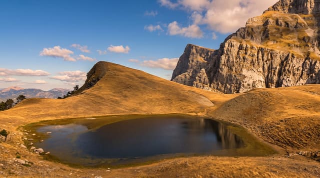
The Tzoumerka range rises to 2,393 metres at Kakarditsa and forms one of the most abrupt landscapes in Greece: grey limestone walls above deep valleys, with villages built on terraces so steep that streets become stairways. The national park, established in 2009, covers the range together with the Arachthos gorge and parts of the Acheloos and Agrafa. Waterfalls are the signature, dozens of them, from the tall thin fall at Katarraktis to the cascades above Pramanta and the Souda falls, and caves such as Anemotrypa are open at Pramanta. Rafting runs the Arachthos, and stone bridges span its tributaries. The villages, Pramanta, Syrrako, Kalarites, Agnanta, Melissourgoi, were built by shepherds and craftsmen and mostly emptied in the twentieth century.
The landscape
- The limestone wall - the abrupt Tzoumerka ridge above the valleys.
- The waterfalls - dozens of falls, including those at Katarraktis and Souda.
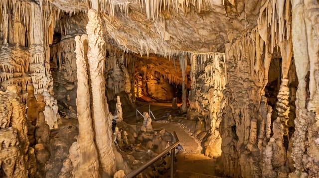
- Anemotrypa cave - a show cave at Pramanta with underground streams.
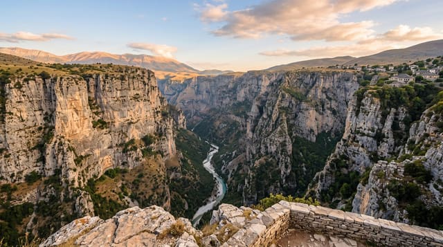
- The Arachthos gorge - a deep river valley used for rafting.
When to go
Late spring for waterfalls at full strength and green slopes; autumn for colour and stable weather. Winter closes higher roads with snow, and summer reduces the falls considerably.
Practical notes
Mountain roads are narrow, winding and slow, with long drives between villages that look close on a map. Facilities are sparse outside the larger villages, and many guesthouses open only at weekends out of season.
Nearby
Syrrako and Kalarites cling to the western slopes; the Plaka bridge crosses the Arachthos below.
What to pack for Tzoumerka National Park
Chosen from what this place is for. Tap a kit for the full checklist.
- Broken-in walking shoes or boots - Grip and ankle support matter more than looks; never hike in brand-new boots. Find on Amazon
- Quick-dry clothing - Board shorts or synthetics that shrug off spray and dry fast. Find on Amazon
- Head torch + spare batteries - Hands-free light is essential; caves are truly dark. Find on Amazon
- Binoculars - The single best wildlife tool - even a compact pair transforms a sighting. Find on Amazon
Some links on this page are Amazon affiliate links - if you buy through them we may earn a small commission at no extra cost to you.
All packing kitsPlan your trip
Where to start if Tzoumerka National Park is going on the list.
Booking links on this page are affiliate links - if you book through them we may earn a small commission at no extra cost to you. It never changes what we write about a place.
Opening times, ticket prices and seasonal closures change - check the official source before you go: official site.