Barrington Tops National Park
A high basalt plateau of Antarctic beech and snow gums above the Hunter Valley, part of the Gondwana Rainforests listing.
Updated 21 October 2026
AI illustration
UNESCO World Heritage
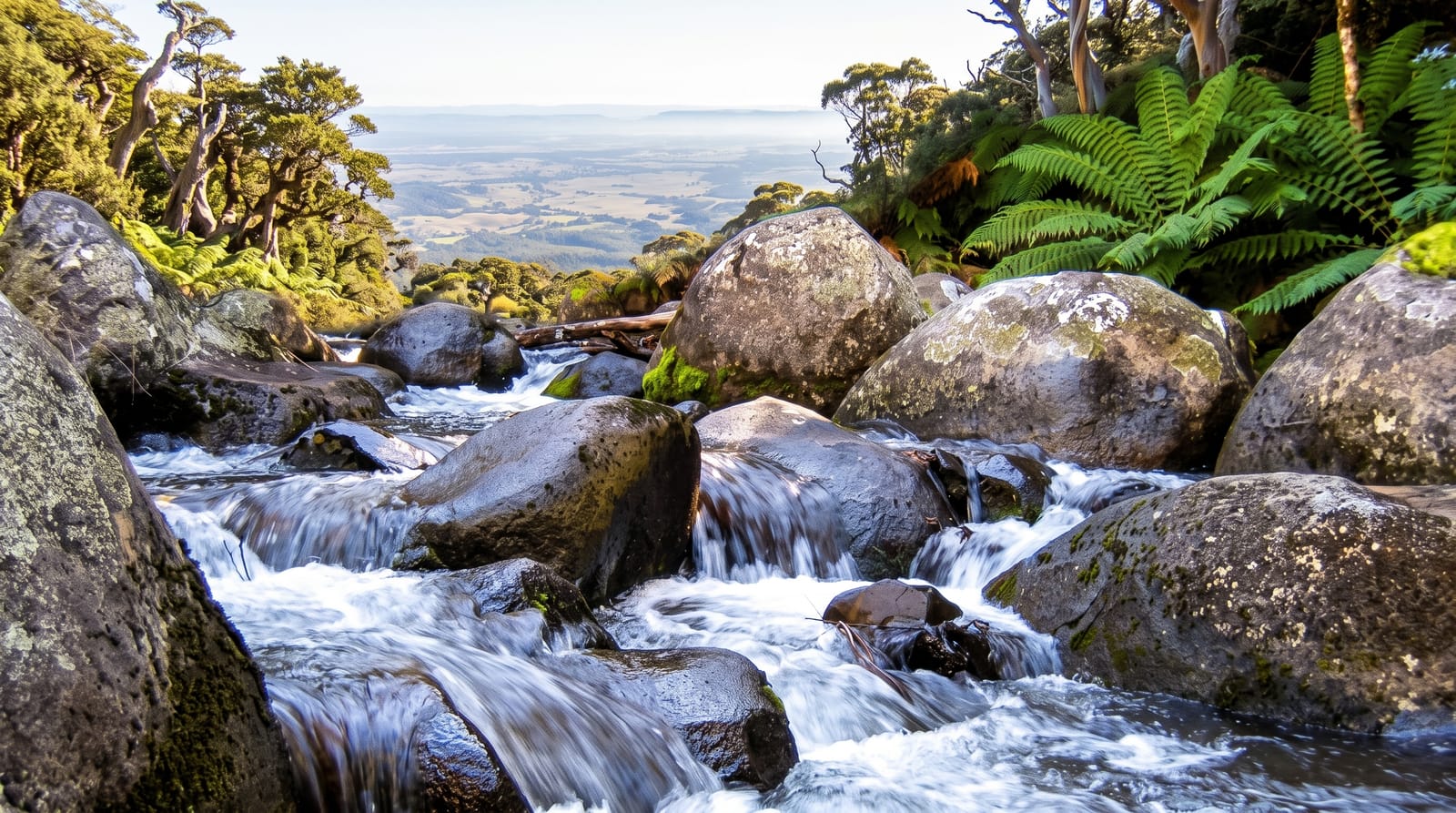
Barrington Tops rises to around 1,580 metres on a basalt plateau north of the Hunter Valley, high enough to hold snow in winter and cold enough to support Antarctic beech forest, sub-alpine swamps and snow gums that belong more to Tasmania than to subtropical New South Wales. The park is part of the Gondwana Rainforests of Australia World Heritage area, and the change from subtropical rainforest in the gorges to sub-alpine woodland on top happens over a short distance. Walking tracks cross the plateau, the Williams and Barrington rivers hold trout, and Jerusalem Creek and Gloucester Falls are among the accessible short walks. Weather changes quickly and severely at altitude.
Highlights
- The Antarctic beech - ancient Gondwanan forest on the high plateau.
- The sub-alpine swamps - open snow-gum country and wetlands on top.
- The rainforest gorges - subtropical forest on the lower slopes.
- The rivers - trout streams and swimming holes on the park's edges.
When to go
October to May for the plateau; winter brings snow, ice and road closures on the top, though the lower valleys stay accessible. Summer is mild at altitude while the Hunter below bakes. Weather can turn severe with little warning.
What to expect
Plateau roads are unsealed, rough and often require high clearance or four-wheel drive in wet weather. There is no phone coverage. Exposure is a real danger here, since the temperature on the plateau can be more than fifteen degrees lower than in the valleys.
Nearby
Gloucester lies east; Dungog and the Hunter Valley are south.
Key facts
Source: Wikidata, item Q808934, read on 18 October 2026.
What to pack for Barrington Tops National Park
Chosen from what this place is for. Tap a kit for the full checklist.
- Broken-in walking shoes or boots - Grip and ankle support matter more than looks; never hike in brand-new boots. Find on Amazon
- Travel rod + reel - A packable multi-piece rod fits in a case and covers most holiday fishing. Find on Amazon
- Reef-safe sunscreen - High SPF that will not bleach the coral you are swimming over. Find on Amazon
- Binoculars - The single best wildlife tool - even a compact pair transforms a sighting. Find on Amazon
Some links on this page are Amazon affiliate links - if you buy through them we may earn a small commission at no extra cost to you.
All packing kitsPlan your trip
Where to start if Barrington Tops National Park is going on the list.
Booking links on this page are affiliate links - if you book through them we may earn a small commission at no extra cost to you. It never changes what we write about a place.
Opening times, ticket prices and seasonal closures change - check the official source before you go: official site.


