Almaty
Kazakhstan's largest city and former capital, laid out in a grid below the Tien Shan with the mountains at the end of every street.
Updated 20 October 2026
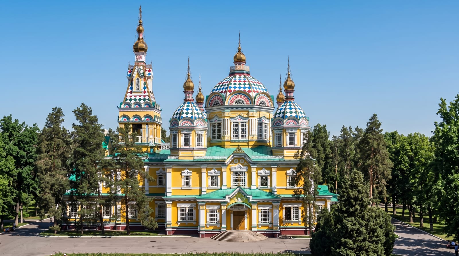
AI illustration
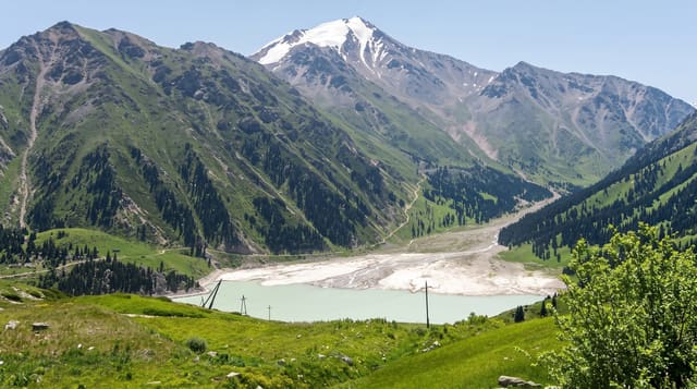
Almaty was laid out as the Russian fort of Verny in 1854 on a slope below the Zailiysky Alatau, and the grid runs uphill, so the mountains close the view down most streets and the city has a clear sense of up and down that residents use instead of compass directions. It was the capital until 1997 and remains the larger and older city. The Ascension Cathedral in Panfilov Park is built entirely of timber and survived the 1911 earthquake that flattened much of the town. The Green Bazaar, the Central State Museum, the Arbat pedestrian street and the Soviet-era Hotel Kazakhstan are the fixed points, and the gorges above the city start where the streets end.
History
The city lies in the foothills of the Trans-Ili Alatau at 700 to 900 metres, with the Big and Small Almaty rivers running through it. It was the capital of Kazakhstan from 1929 until 1997, and it hosted the Alma-Ata conference on primary health care in 1978, the Asian Winter Games in 2011 and the Winter Universiade in 2017 (Wikipedia, Almaty).
What to look for
- The Ascension Cathedral - the all-timber church that survived 1911.
- The Green Bazaar - the central market with horsemeat and dairy rows.
- Kok-Tobe - the cable car up to the hill above the city.
- The mountain backdrop - the Alatau at the head of every uphill street.
When to go
April to October for the city and the mountains; December to March for skiing above it. Autumn is the clearest season. Winter smog settles in the bowl and air quality can be poor for weeks.
Things to know
Winter air pollution is a serious problem, with the city trapped under inversions. Traffic is heavy and the grid is slow to cross. Prices are the highest in the country. Sights are modest; the mountains and the food are the reason to stay.
Nearby
Medeu and Shymbulak lie up the gorge; Charyn canyon is east.
Key facts
Source: Wikidata, item Q35493, read on 18 October 2026.
What to pack for Almaty
Chosen from what this place is for. Tap a kit for the full checklist.
- Comfortable walking shoes - Sightseeing means kilometres of pavement and cobbles daily. Find on Amazon
- Modest clothing - Shoulders and knees covered - the single most common requirement. Find on Amazon
- A slim anti-theft daypack - Zips that close properly; keep it in front in crowds and on transit. Find on Amazon
- A scarf or shawl - To cover the head or shoulders on entry; women especially at mosques. Find on Amazon
Some links on this page are Amazon affiliate links - if you buy through them we may earn a small commission at no extra cost to you.
All packing kitsPlan your trip
Where to start if Almaty is going on the list.
Booking links on this page are affiliate links - if you book through them we may earn a small commission at no extra cost to you. It never changes what we write about a place.
Opening times, ticket prices and seasonal closures change - check the official source before you go: official site.