Wadi al-Hasa
A long river canyon between Karak and Tafileh, walked as a multi-day trek.
Updated 3 September 2026
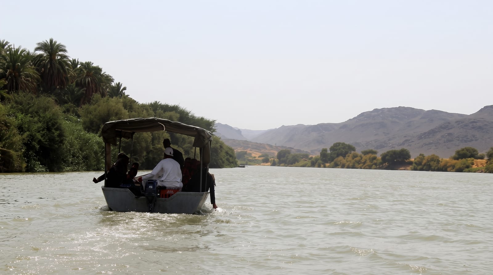
Wadi al-Hasa runs west from the plateau to the Dead Sea, a canyon with permanent water along much of its length, hot springs feeding in from the sides, oleander along the banks and walls that close in and open out repeatedly over a route of some forty kilometres. It is walked as a two-day trek with an overnight camp, following the water most of the way and crossing it constantly. The Jordan Trail uses part of it.
Highlights
- The permanent water - a river running year round in a desert country.
- The hot springs - thermal water feeding in from the canyon sides.
- The oleander - the vegetation along the banks through the gorge.
- The narrows - the sections where the walls close in on the river.
When to go
April to June and September to October are the trekking windows. Winter flash floods make the canyon dangerous. Summer heat is severe.
Good to know
Flash floods are a genuine danger and the route should not be attempted with rain forecast. The trek involves constant water crossings and wet feet throughout. Guides and logistics must be arranged.
Nearby
Afra Hot Springs are south, and Karak is north.
Key facts
Source: Wikidata, item Q2451612, read on 18 October 2026.
What to pack for Wadi al-Hasa
Chosen from what this place is for. Tap a kit for the full checklist.
- Broken-in walking shoes or boots - Grip and ankle support matter more than looks; never hike in brand-new boots. Find on Amazon
- Loose, light, long clothing - Covering up beats bare skin in the desert - and locals dress this way for a reason. Find on Amazon
- Shelter suited to the place - Tent, tarp or hut booking - match it to the terrain and rules. Find on Amazon
- Swimwear - Needed at most public thermal pools; some traditional baths are nude and single-sex. Find on Amazon
Some links on this page are Amazon affiliate links - if you buy through them we may earn a small commission at no extra cost to you.
All packing kitsPlan your trip
Where to start if Wadi al-Hasa is going on the list.
Booking links on this page are affiliate links - if you book through them we may earn a small commission at no extra cost to you. It never changes what we write about a place.
Opening times, ticket prices and seasonal closures change - check the official source before you go: official site.