Sado Island
A large island off Niigata with a cliff-lined north coast, rice terraces, a gold mining past and its own drumming tradition.
Updated 20 October 2026
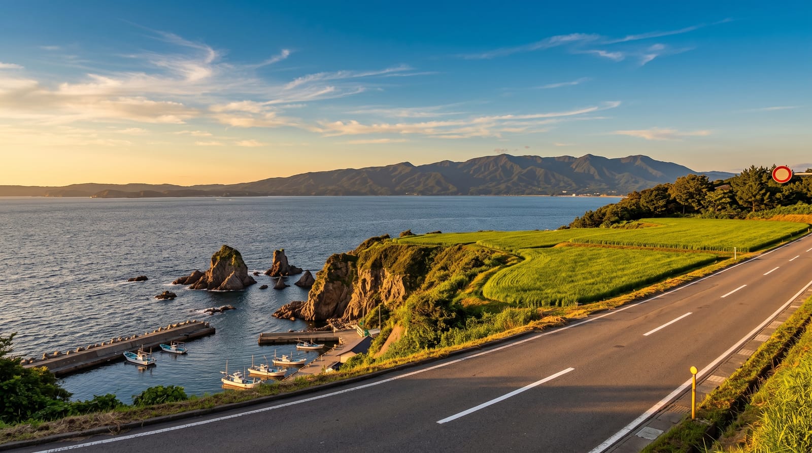
AI illustration
Sado sits in the Sea of Japan an hour or so off Niigata and is big enough to need a car: two mountain ranges with a flat farmed plain between them, and a coastline that turns from beaches in the south to the cliffs and sea stacks of Sotokaifu in the north. Gold and silver were mined at Aikawa for centuries, and the split mountain above the town, cut open by hand, is still the island's strangest sight. At Ogi, women row tarai-bune, round tub boats once used to gather shellfish in the rocky shallows. The island is also the home base of a well known taiko drumming group.
History
Sado separated from Honshu around 16 million years ago, and people have lived on it for 10,000 years; the island appears in the Kojiki and the Nihongi, and after the Taika Reform the central government made it Sado Province (Wikipedia, Sado Island).
What's there
- Sotokaifu coast - a cliff road along the northern shore with sea stacks and small ports.
- Aikawa and the split mountain - the old mining town under a peak cut open by hand.
- Tarai-bune at Ogi - round tub boats rowed with a single oar in sheltered shallows.
- The crested ibis centre - a conservation site for the toki, reintroduced to the island.
When to go
May to October is the practical season, with the calmest ferries and open mountain roads. The rice terraces are green in June and gold in September. Winter brings strong wind, cancelled sailings and shut attractions. The drumming festival in August fills every bed on the island, so book far ahead or avoid that week entirely.
Before you go
Sights are spread over an island that takes hours to cross, bus services are sparse, and without a car or a rented scooter a visit turns into waiting. Ferries are weather-dependent and cancellations do strand people. The tub boat ride lasts a few minutes and is charged. Restaurants and shops close early, and English information is thin outside the main ports.
Nearby
Niigata city on the mainland, with rail connections south along the coast.
Key facts
Source: Wikidata, item Q998623, read on 18 October 2026.
What to pack for Sado Island
Chosen from what this place is for. Tap a kit for the full checklist.
- Reef-safe sunscreen - High SPF that will not bleach the coral you are swimming over. Find on Amazon
- Quick-dry towel - A microfibre towel packs small and dries in minutes. Find on Amazon
- Water shoes - Protect your feet on rocky entries, hot sand and sea-urchin spines. Find on Amazon
- Dry bag - Keeps phone, cash and keys safe while you are in the water. Find on Amazon
Some links on this page are Amazon affiliate links - if you buy through them we may earn a small commission at no extra cost to you.
All packing kitsPlan your trip
Where to start if Sado Island is going on the list.
Booking links on this page are affiliate links - if you book through them we may earn a small commission at no extra cost to you. It never changes what we write about a place.
Opening times, ticket prices and seasonal closures change - check the official source before you go: official site.