Oirase Gorge
A fourteen-kilometre stream trail draining Lake Towada, running past mossy boulders, braided side channels and a string of waterfalls.
Updated 29 August 2026
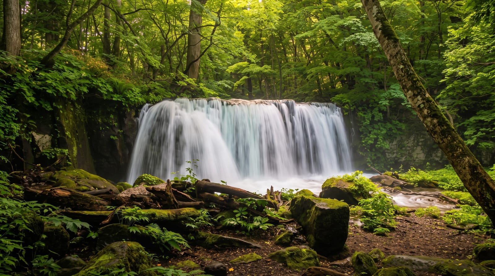
AI illustration
The Oirase is the only stream that drains Lake Towada, and it leaves the crater in a long, shallow gorge that has been walked as a scenic route since the early twentieth century. A level path follows the water for about fourteen kilometres from Nenokuchi down to Yakeyama, close enough that you hear it the whole way. The interest is in detail rather than scale: moss on every boulder, beech and katsura leaning over the channel, braided side streams, and perhaps a dozen named waterfalls, of which Choshi Otaki is the widest and Kumoi no Taki the tallest. Buses stop at several points, so any section can be walked on its own.
What you'll find
- Choshi Otaki - the widest fall, dropping across the stream near the lake end.
- Kumoi no Taki - a tall side fall arriving through the trees above the path.
- The moss and boulders - the reason people walk slowly here rather than for distance.
- Nenokuchi - the lake shore where the stream begins, with boats out onto Towada.
When to go
The trail is snow-free roughly from late April to early November. Fresh green in late May and June is the quietest good time, while the third week of October is the colour peak and by far the busiest. Early morning gives the best light in a gorge that stays shaded, and empties the car parks of coaches.
Good to know
A road runs alongside the stream for most of the route, so traffic noise and parked cars are part of the experience, and in October the queues of vehicles turn the gorge into a slow-moving car park. The path is flat but often muddy and slippery on wet stones. Buses are packed at peak times, and some of the falls are modest by any measure.
Nearby
Lake Towada itself, and the Hakkoda mountains with their hot spring villages to the north.
Key facts
Source: Wikidata, item Q10942580, read on 18 October 2026.
What to pack for Oirase Gorge
Chosen from what this place is for. Tap a kit for the full checklist.
- Broken-in walking shoes or boots - Grip and ankle support matter more than looks; never hike in brand-new boots. Find on Amazon
- Warm base layers - Merino or synthetic against the skin - never cotton, which chills when damp. Find on Amazon
- Swimwear - Needed at most public thermal pools; some traditional baths are nude and single-sex. Find on Amazon
- Layers + a waterproof shell - Mountain weather turns fast; a packable rain jacket saves the day. Find on Amazon
Some links on this page are Amazon affiliate links - if you buy through them we may earn a small commission at no extra cost to you.
All packing kitsPlan your trip
Where to start if Oirase Gorge is going on the list.
Booking links on this page are affiliate links - if you book through them we may earn a small commission at no extra cost to you. It never changes what we write about a place.
Opening times, ticket prices and seasonal closures change - check the official source before you go: official site.