Karijini National Park
A Pilbara plateau of banded ironstone split by narrow red gorges, cold pools and waterfalls hidden below flat spinifex country.
Updated 18 October 2026

AI illustration
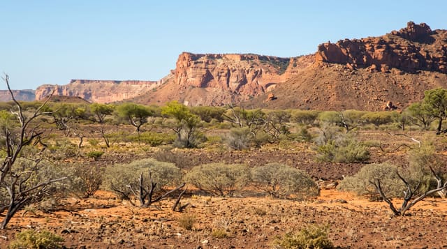
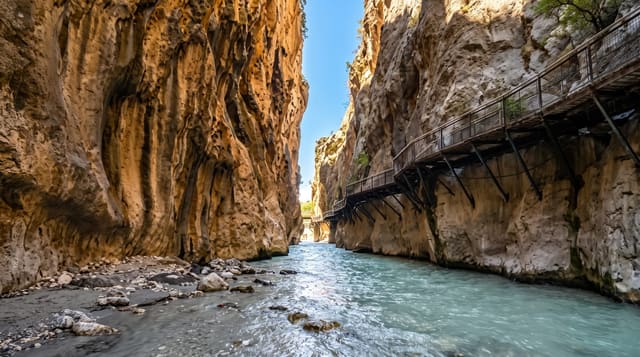
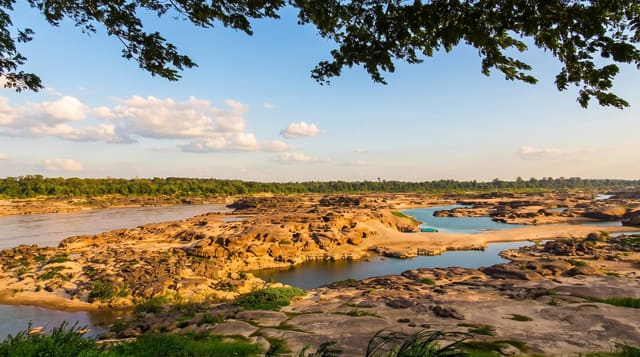
Karijini sits in the Pilbara, an ancient plateau of banded ironstone in the dry interior of Western Australia, and most of what you come for is below your feet. From a distance the park looks like flat spinifex country until the ground splits open into red gorges hundreds of metres long and only metres wide. Dales Gorge holds Fortescue Falls and the still green water of Fern Pool. Weano and Hancock tighten into passages where you shuffle sideways with a hand on each wall and wade through cold water to pools such as Handrail and Kermits. Above the gorges the plateau runs out to Mount Bruce, one of the state's highest peaks, and the rock faces record iron-rich sediment laid down over an almost unreadable span of time.
History
The park is the traditional home of the Banyjima, Kurrama and Innawonga peoples, whose occupation goes back more than 20,000 years and whose fire-stick farming shaped the variety of its plants and animals; Karijini, hilly place, is the Banyjima name for the Hamersley Range. The explorer Francis Thomas Gregory's party came through in 1861 and he named the range after his friend Edward Hamersley, and the park, first called Hamersley Range National Park, took the name Karijini in 1991 (Wikipedia, Karijini National Park).
Highlights
- Dales Gorge - Fortescue Falls, the quiet water of Fern Pool and the walk along the gorge floor.
- Weano and Hancock gorges - narrow slot sections leading down to Handrail Pool and Kermits Pool.
- Oxer Lookout - the rim view over the junction where four gorges meet.
- Hamersley Gorge - folded, banded rock layers curving above a swimming pool.
When to go
April to September is the practical window, when days are warm rather than dangerous and the pools stay cold. Summer brings temperatures well above forty degrees and storms that can flood a gorge with little warning, so restricted routes close. Start walks early in the day, and check park notices for gorge closures before you set out.
Good to know
This is a long way from anywhere. The nearest towns are small mining centres, fuel and supplies are limited, and much of the road in is unsealed corrugation. The best-known gorge routes involve scrambling, wading and slippery rock, and people are injured here every year. Phone coverage is absent through most of the park, and campsites are basic.
Nearby
Tom Price and the Hamersley Range are the closest bases, with Millstream Chichester National Park to the north.
Key facts
Source: Wikidata, item Q1729357, read on 18 October 2026.
What to pack for Karijini National Park
Chosen from what this place is for. Tap a kit for the full checklist.
- Broken-in walking shoes or boots - Grip and ankle support matter more than looks; never hike in brand-new boots. Find on Amazon
- Reef-safe sunscreen - High SPF that will not bleach the coral you are swimming over. Find on Amazon
- Shelter suited to the place - Tent, tarp or hut booking - match it to the terrain and rules. Find on Amazon
- Layers + a waterproof shell - Mountain weather turns fast; a packable rain jacket saves the day. Find on Amazon
Some links on this page are Amazon affiliate links - if you buy through them we may earn a small commission at no extra cost to you.
All packing kitsPlan your trip
Where to start if Karijini National Park is going on the list.
Booking links on this page are affiliate links - if you book through them we may earn a small commission at no extra cost to you. It never changes what we write about a place.
Opening times, ticket prices and seasonal closures change - check the official source before you go: official site.