Kennedy Range National Park
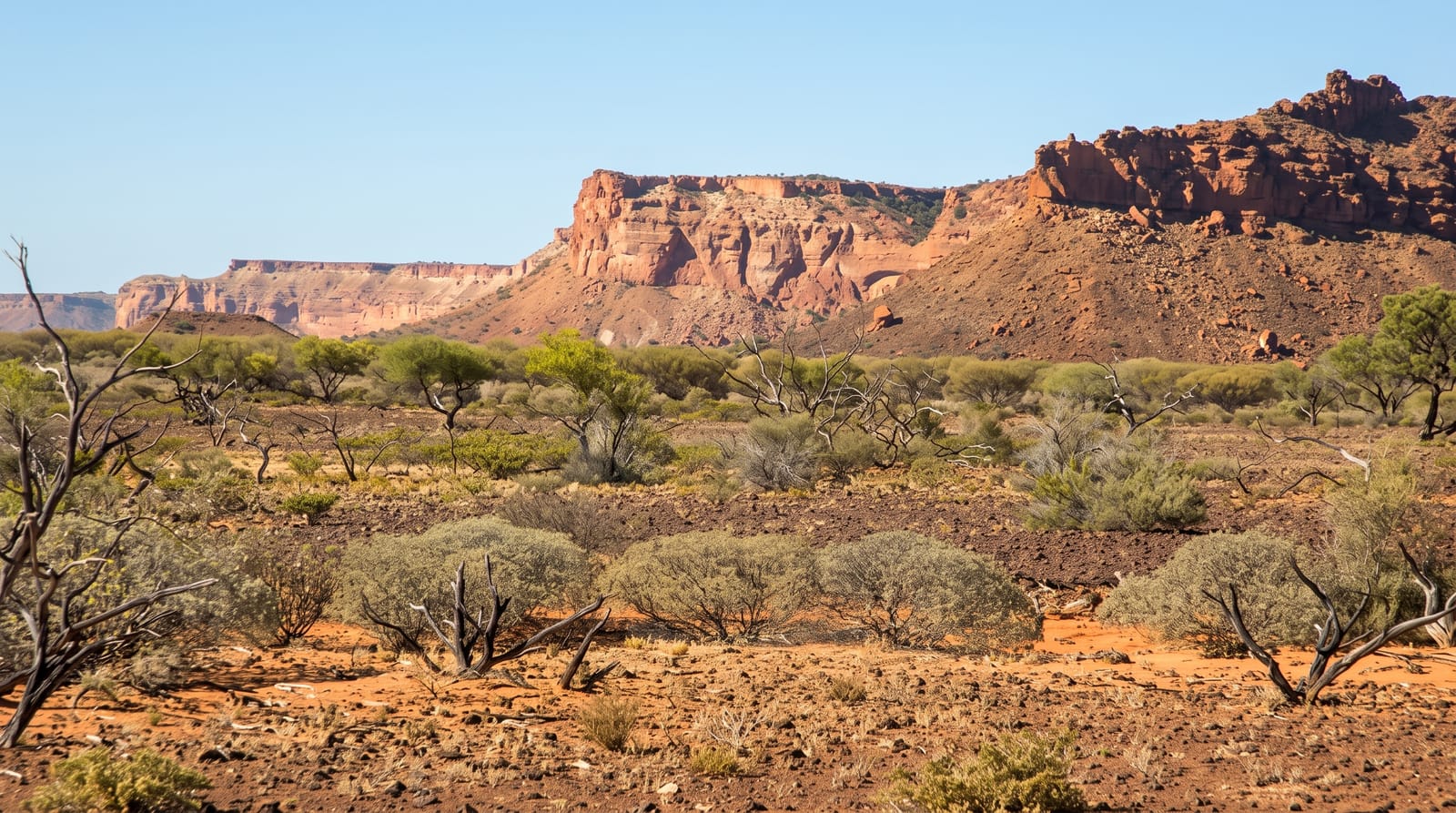
A mesa rising a hundred metres above the plain inland from Carnarvon, its eastern face cut by narrow gorges.
Updated 21 October 2026
AI illustration
The Kennedy Range is a plateau more than a hundred and fifty kilometres long that stands about a hundred metres above the surrounding Gascoyne plain, an eroded remnant of an ancient seabed whose sandstone holds marine fossils. Its eastern escarpment is cut by short steep gorges, and walking tracks lead into Temple Gorge, Honeycomb Gorge, with its pitted wall of small hollows, and Drapers Gorge, each a scramble over boulders into narrowing red rock. The Escarpment Trail climbs to the plateau rim for views over the plain. Wildflowers follow winter rain. The park is remote, with a basic campground at the range foot and no water, fuel or phone coverage.
The landscape
- The escarpment - a hundred-metre wall of red sandstone above the plain.
- Honeycomb Gorge - the pitted rock face at the end of a short gorge walk.
- Temple Gorge - a scramble into narrowing red rock.
- The rim trail - the climb to the plateau edge and the view east over the plain.
When to go
April to September; summer temperatures pass forty-five degrees and walking is dangerous. Wildflowers follow good winter rain, usually August. Roads close after rain and can stay shut for days.
Good to know
The road in from Gascoyne Junction is unsealed, corrugated and slow. There is no water, fuel or phone signal, and the campground is basic. Gorge walks involve boulder scrambling rather than formed paths.
Nearby
Gascoyne Junction is the nearest settlement; Mount Augustus lies far east.
Key facts
Source: Wikidata, item Q1738788, read on 18 October 2026.
What to pack for Kennedy Range National Park
Chosen from what this place is for. Tap a kit for the full checklist.
- Broken-in walking shoes or boots - Grip and ankle support matter more than looks; never hike in brand-new boots. Find on Amazon
- Binoculars - The single best wildlife tool - even a compact pair transforms a sighting. Find on Amazon
- Modest clothing - Shoulders and knees covered - the single most common requirement. Find on Amazon
- Layers + a waterproof shell - Mountain weather turns fast; a packable rain jacket saves the day. Find on Amazon
Some links on this page are Amazon affiliate links - if you buy through them we may earn a small commission at no extra cost to you.
All packing kitsPlan your trip
Where to start if Kennedy Range National Park is going on the list.
Booking links on this page are affiliate links - if you book through them we may earn a small commission at no extra cost to you. It never changes what we write about a place.
Opening times, ticket prices and seasonal closures change - check the official source before you go: official site.