Cape Arid National Park
Granite headlands and empty beaches east of Esperance, the last stronghold of the western ground parrot.
Updated 18 October 2026
AI illustration
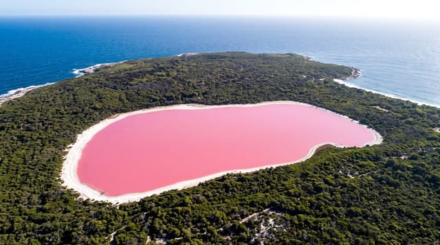
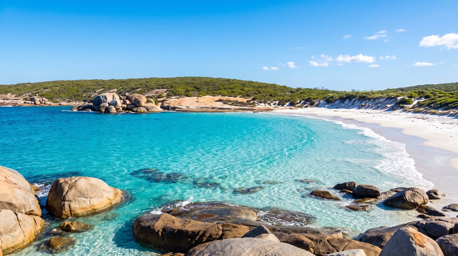
Cape Arid covers a stretch of the far south coast where the Recherche Archipelago's granite continues onto the mainland as headlands and domes above beaches that go for kilometres without a footprint. Thomas River is the main campground, with a beach and the Tagon coastal walk; Mount Ragged inland is a quartzite peak with a steep summit climb and views over the plain. The park holds one of the last populations of the western ground parrot, a critically endangered bird thought to number only about 140 in the wild before the 2015 fires, which may have cut that to 30 or 40, along with a rich heath flora. Beyond it lies Israelite Bay and country that runs unbroken to the Nullarbor, accessible only by four-wheel drive.
History
The French admiral Bruni d'Entrecasteaux was the first European to come here, in 1792, naming the headland Cap Aride, which Matthew Flinders anglicised in 1802; pioneer graziers arrived in the 1870s, leaving ruined homesteads, dams and graves near Pine Hill and Thomas Fishery, and bay whalers worked at Thomas's Fishery in the 1860s and at Barrier Anchorage in the 1870s. The fires of 2015 burned up to 90 per cent of the remaining habitat of the western ground parrot in the park, cutting a wild population thought to be about 140 to perhaps 30 or 40 (Wikipedia, Cape Arid National Park).
What you'll find
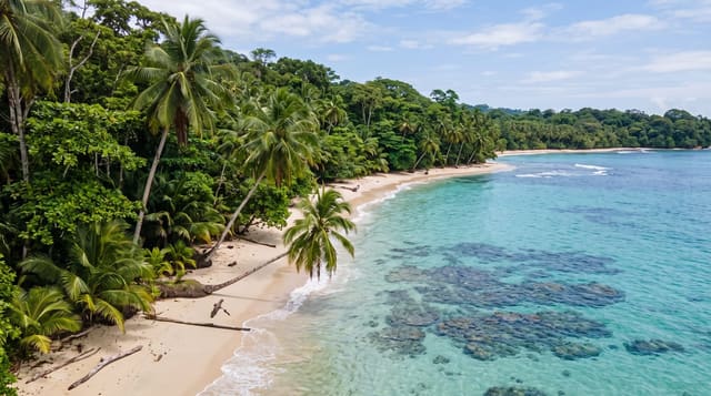
- The empty beaches - long white sand with granite headlands and no development.
- Mount Ragged - the quartzite peak with a steep climb inland.
- The heath - dense flowering vegetation holding rare birds.
- The Tagon walk - the coastal track from Thomas River.
When to go
October to April for the warmest weather; the coast is windy and cold in winter. Wildflowers flower through spring. Roads beyond the main campground are unsealed and need high clearance, and become impassable after rain.
What to expect
Facilities are minimal, with basic campsites and no drinking water. Mobile coverage is absent. The western ground parrot is effectively never seen; it is nocturnal, cryptic and critically endangered. Access to the eastern park requires four-wheel drive.
Nearby
Cape Le Grand and Esperance lie west; Israelite Bay is east.
Key facts
Source: Wikidata, item Q442279, read on 18 October 2026.
What to pack for Cape Arid National Park
Chosen from what this place is for. Tap a kit for the full checklist.
- Broken-in walking shoes or boots - Grip and ankle support matter more than looks; never hike in brand-new boots. Find on Amazon
- Reef-safe sunscreen - High SPF that will not bleach the coral you are swimming over. Find on Amazon
- Binoculars - The single best wildlife tool - even a compact pair transforms a sighting. Find on Amazon
- Loose, light, long clothing - Covering up beats bare skin in the desert - and locals dress this way for a reason. Find on Amazon
Some links on this page are Amazon affiliate links - if you buy through them we may earn a small commission at no extra cost to you.
All packing kitsPlan your trip
Where to start if Cape Arid National Park is going on the list.
Booking links on this page are affiliate links - if you book through them we may earn a small commission at no extra cost to you. It never changes what we write about a place.
Opening times, ticket prices and seasonal closures change - check the official source before you go: official site.