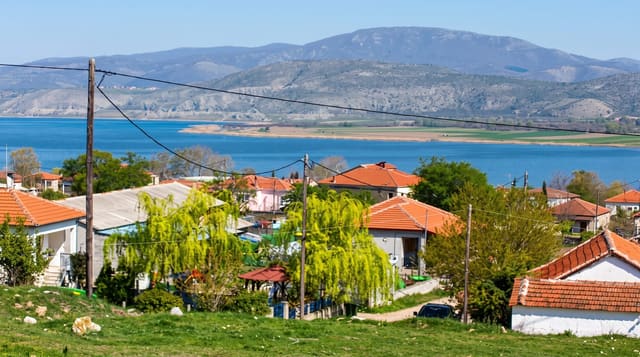
Lake Kawaguchiko
The most accessible of the Fuji Five Lakes, where the mountain appears twice - once above the water and once in it.
Updated 19 October 2026
UNESCO World Heritage
Kawaguchiko is the second largest of the five lakes on Fuji's northern side and the one with the transport, the hotels and the sightlines, which makes it the base most visitors use. The northern shore is the place to stand: the mountain sits directly across the water, and on a still morning the reflection - sakasa-Fuji, the upside-down Fuji, the image on the thousand-yen note taken from nearby Lake Motosu - is clean enough to double the peak. Cherry trees line that shore in April and the Momiji Corridor colours in early November, both timed to frame the mountain. The Kachi Kachi ropeway climbs Mount Tenjo for a view over the lake and the peak together. The critical caveat is visibility: Fuji is clouded most summer days and appears reliably only in the cold months, best in the first hours after dawn.
The landscape
- Fuji across the water - the northern shore is the sightline, with the reflection on still mornings.
- Cherry and maple framing - April blossom and early November colour along the same shore.
- The Kachi Kachi ropeway - Mount Tenjo, giving lake and mountain in one view.
- The transport base - direct buses from Shinjuku and a railway connection.
When to go
November to February, at dawn, for the clearest Fuji. Two days to allow for cloud.
Good to know
Fuji is invisible far more often than photographs suggest - summer especially. The town is a strip of hotels and shops rather than a village. Peak season buses and viewpoints are severely crowded. Weekend traffic on the approach roads is heavy.
Nearby
Oshino Hakkai is east; Chureito Pagoda is at Fujiyoshida.
Key facts
Source: Wikidata, item Q577372, read on 18 October 2026.
What to pack for Lake Kawaguchiko
Chosen from what this place is for. Tap a kit for the full checklist.
- Reef-safe sunscreen - High SPF that will not bleach the coral you are swimming over. Find on Amazon
- Quick-dry towel - A microfibre towel packs small and dries in minutes. Find on Amazon
- Water shoes - Protect your feet on rocky entries, hot sand and sea-urchin spines. Find on Amazon
- Dry bag - Keeps phone, cash and keys safe while you are in the water. Find on Amazon
Some links on this page are Amazon affiliate links - if you buy through them we may earn a small commission at no extra cost to you.
All packing kitsPlan your trip
Where to start if Lake Kawaguchiko is going on the list.
Booking links on this page are affiliate links - if you book through them we may earn a small commission at no extra cost to you. It never changes what we write about a place.
Opening times, ticket prices and seasonal closures change - check the official source before you go: official site.