Iriomote Island
A subtropical island in the far southwest of Japan, almost entirely jungle and mangrove, with a wildcat found nowhere else.
Updated 19 October 2026
AI illustration
UNESCO World Heritage
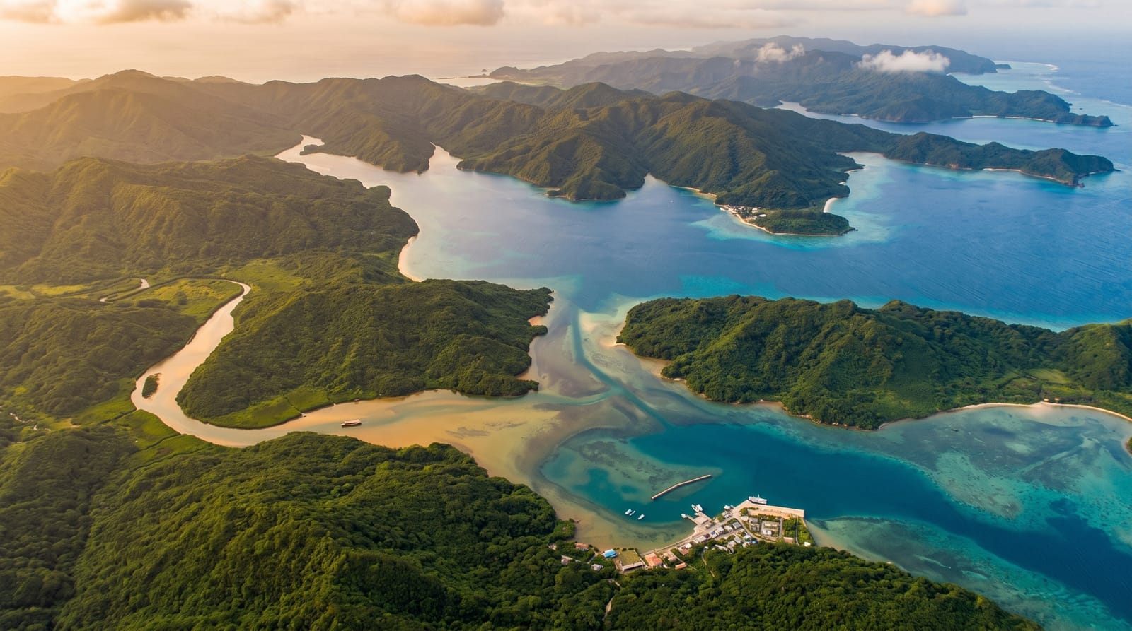
Iriomote is the second largest island in Okinawa and looks nothing like the rest of it. Nearly all of it is subtropical forest and mangrove, with one road that runs part of the way round the coast and then stops, leaving the interior to rivers. Boats go up the Urauchi, the longest river in Okinawa, to a trail that climbs to the Mariyudu and Kanpire falls, and kayaks reach Pinaisara, which drops off a plateau in a single thin line. UNESCO listed the island in 2021 along with three others for its endemic species, including the Iriomote cat, a small nocturnal wildcat that almost nobody ever sees.
History
For most of its history the island had only a few coastal settlements of fishermen and rice growers, and its population grew only with the Iriomote coal mine, worked from 1889 to 1959. After the Second World War US forces eradicated malaria, and the island has been free of it since. Like the rest of Okinawa, Iriomote stayed under US control until 1972. In 1924 a submarine volcano north of the island erupted with an estimated explosivity index of 5, covering the coast with pumice that drifted as far as Hokkaido (Wikipedia, Iriomote Island).
The landscape
- The Urauchi River - a boat trip inland followed by a forest climb to two waterfalls.
- Pinaisara Falls - the tallest fall in Okinawa, reached by kayak and a muddy scramble.
- Mangrove channels - dense root forests along the tidal reaches of several rivers.
- Yubu Island - a shallow crossing to a small islet, made by water buffalo cart.
When to go
March to June and October to November are the balanced months. Typhoon season runs through late summer and can cancel ferries for days. Winter is mild but often wet and windy, and the sea turns rough. Book guided river and kayak trips ahead, since operators cap numbers and the popular routes fill during Japanese holidays.
Before you go
There is no airport, so every visit depends on the Ishigaki ferry and the weather it runs in. Heat and humidity are heavy most of the year, mosquitoes are constant, and habu snakes mean you stay on the path. Several areas can only be entered with a guide, which costs. The wildcat is effectively invisible: expect road signs, not sightings.
Nearby
Ishigaki as the transport hub, with Taketomi and Hateruma reachable on the same ferries.
Key facts
Source: Wikidata, item Q432124, read on 18 October 2026.
What to pack for Iriomote Island
Chosen from what this place is for. Tap a kit for the full checklist.
- Broken-in walking shoes or boots - Grip and ankle support matter more than looks; never hike in brand-new boots. Find on Amazon
- Reef-safe sunscreen - High SPF that will not bleach the coral you are swimming over. Find on Amazon
- Quick-dry clothing - Board shorts or synthetics that shrug off spray and dry fast. Find on Amazon
- Strong insect repellent - DEET or picaridin; the jungle is where bites and disease risk are highest. Find on Amazon
Some links on this page are Amazon affiliate links - if you buy through them we may earn a small commission at no extra cost to you.
All packing kitsPlan your trip
Where to start if Iriomote Island is going on the list.
Booking links on this page are affiliate links - if you book through them we may earn a small commission at no extra cost to you. It never changes what we write about a place.
Opening times, ticket prices and seasonal closures change - check the official source before you go: official site.