Civitella del Tronto
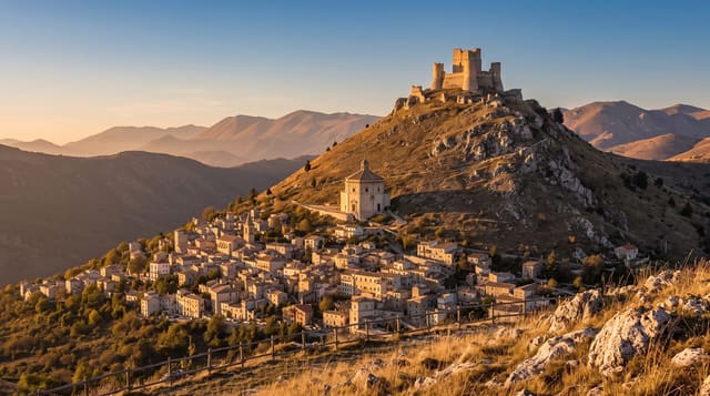
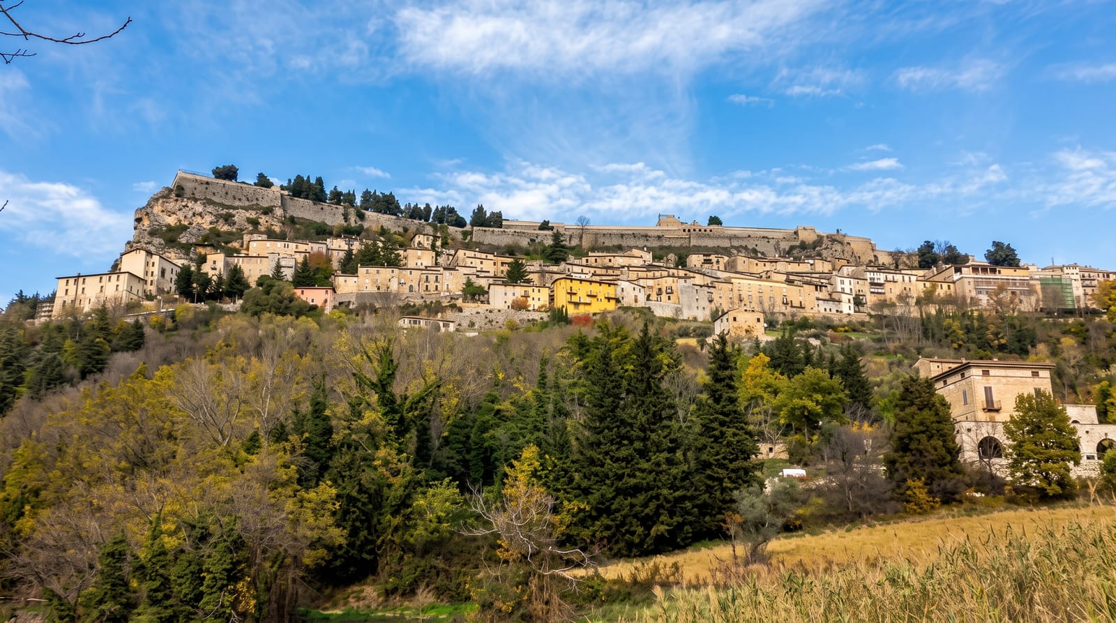
A fortress five hundred metres long running the whole length of a rock ridge above the village.
Updated 19 October 2026
AI illustration
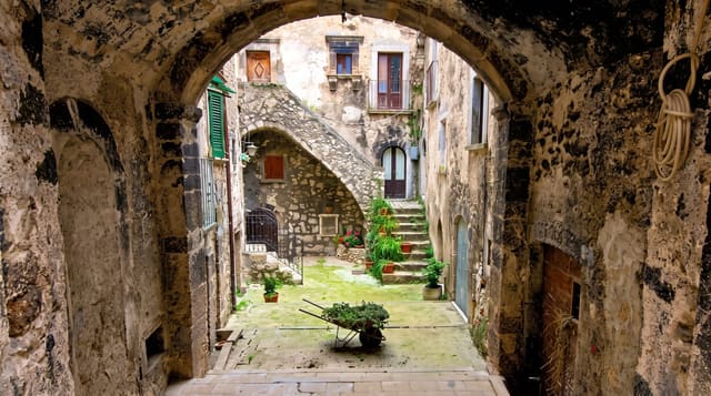
The fortress occupies the entire crest of a rock ridge, about five hundred metres long and up to forty-five wide, covering some twenty-five thousand square metres, which makes it one of the largest fortified structures in Europe by footprint. It was rebuilt in its present form under Spanish rule in the sixteenth century, with three courtyards on different levels, cisterns, a governor's palace and a parade ground, all following the shape of the rock. It was besieged repeatedly and finally surrendered in 1861. The village below has a lane called Ruetta, claimed as one of the narrowest streets in Italy at around fifty centimetres.
History
The origins of the town are unknown, though traces of people from the Upper Palaeolithic and Neolithic have been found nearby. In 1557 French troops besieged it without success, and for its resistance King Philip II of Spain gave it the title Fidelissima, "very faithful" (Wikipedia, Civitella del Tronto).
The main sights
- The ridge fortress - 500 metres of works following the rock crest.
- The three courtyards - stepped levels with cisterns and a parade ground.
- The Ruetta - a village lane about fifty centimetres wide.
- The panorama - the Gran Sasso on one side and the Adriatic on the other.
When to go
April to October; the fortress is exposed with little shade and windy. It closes some days in winter. Allow around two hours for the full circuit.
Things to know
The interior is largely open ground and bare walls rather than furnished rooms. The climb up from the village is steep. There is little shelter in bad weather.
Nearby
Teramo lies south; the Gran Sasso rises southwest.
What to pack for Civitella del Tronto
Chosen from what this place is for. Tap a kit for the full checklist.
- Comfortable walking shoes - Sightseeing means kilometres of pavement and cobbles daily. Find on Amazon
- A slim anti-theft daypack - Zips that close properly; keep it in front in crowds and on transit. Find on Amazon
- A refillable water bottle - Many cities have public fountains; save money and plastic. Find on Amazon
- A light layer + compact umbrella - For museum air-con and a sudden shower. Find on Amazon
Some links on this page are Amazon affiliate links - if you buy through them we may earn a small commission at no extra cost to you.
All packing kitsPlan your trip
Where to start if Civitella del Tronto is going on the list.
Booking links on this page are affiliate links - if you book through them we may earn a small commission at no extra cost to you. It never changes what we write about a place.
Opening times, ticket prices and seasonal closures change - check the official source before you go: official site.