Cala Goloritzé
A beach formed by a landslide in 1962, with a rock spire above it and no boat landing permitted.
Updated 4 September 2026
AI illustration
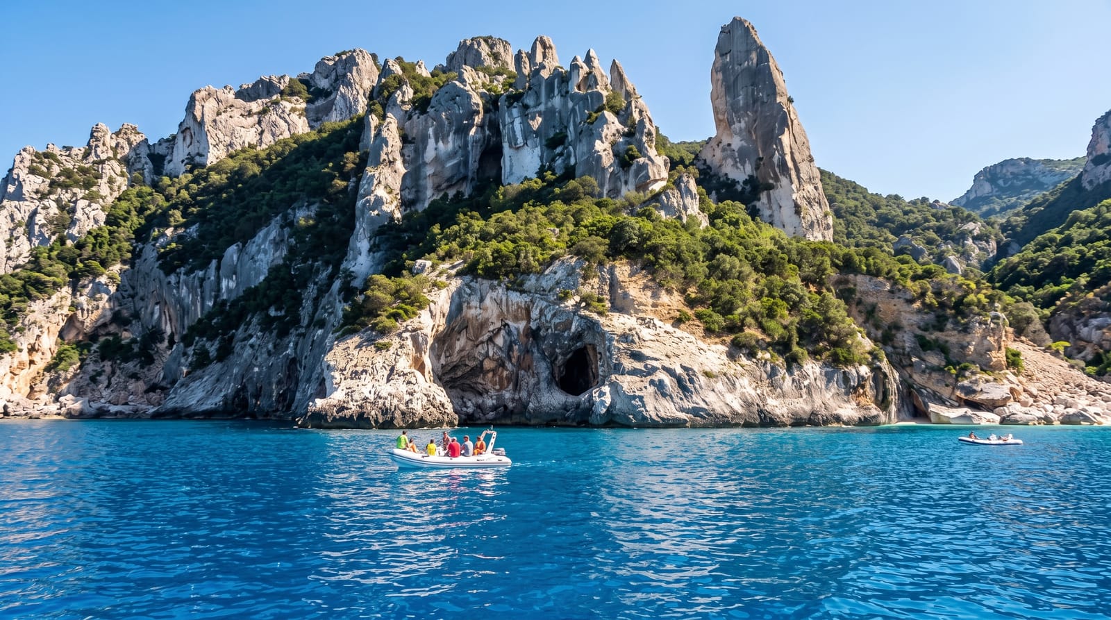
The cove did not exist in its present form until a landslide in 1962 brought down the pale limestone that now forms the beach. Above it stands the Aguglia, a rock spire about a hundred and forty metres high that is a well-known climbing objective, and an arch spans part of the shore. It became a national monument in 1995 and access is tightly controlled: boats may not land, so arrival is on foot down a path of about ninety minutes from the plateau, daily numbers are capped, entry is ticketed and must be booked, and the beach closes when full.
Highlights
- The 1962 landslide beach - white limestone shingle formed in living memory.
- The Aguglia - a 140-metre rock spire climbed from the cove.
- The rock arch - a natural span at one end of the shore.
- The clear shallows - pale stone giving very strong water colour.
When to go
June to September; access requires a booked ticket with a daily cap and the path is closed in bad weather. Start early to avoid heat on the walk back up.
Good to know
There is no boat landing, so everyone walks the path both ways, about ninety minutes each way with a real climb back. Tickets must be booked and sell out.
Nearby
The Gulf of Orosei runs north; Baunei is on the plateau above.
Key facts
Source: Wikidata, item Q2933429, read on 18 October 2026.
What to pack for Cala Goloritzé
Chosen from what this place is for. Tap a kit for the full checklist.
- Broken-in walking shoes or boots - Grip and ankle support matter more than looks; never hike in brand-new boots. Find on Amazon
- Layers + a waterproof shell - Mountain weather turns fast; a packable rain jacket saves the day. Find on Amazon
- Daypack with rain cover - 20-30 litres holds water, snacks, layers and a first-aid kit. Find on Amazon
- Offline maps + a power bank - Download the trail before you lose signal; carry backup charge. Find on Amazon
Some links on this page are Amazon affiliate links - if you buy through them we may earn a small commission at no extra cost to you.
All packing kitsPlan your trip
Where to start if Cala Goloritzé is going on the list.
Booking links on this page are affiliate links - if you book through them we may earn a small commission at no extra cost to you. It never changes what we write about a place.
Opening times, ticket prices and seasonal closures change - check the official source before you go: official site.