Errigal
Donegal's highest peak - a pale quartzite cone above Dunlewey with a summit ridge only a few feet wide.
Updated 21 October 2026
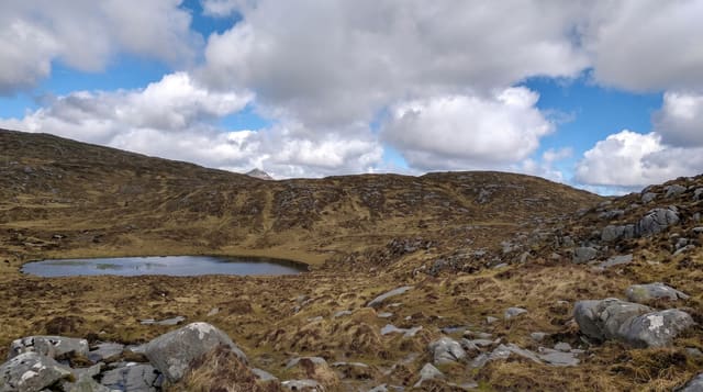
Errigal is 751 metres, the highest mountain in Donegal, and it is unmistakable: a steep quartzite cone whose scree slopes catch the light and can look pink or white depending on the hour. The usual route from the R251 car park is about five kilometres return and climbs steeply through peat hags and then loose scree - hard work rather than technical, though the scree is tiring on the descent. What surprises people is the top. Errigal has two summits joined by a narrow ridge, the One Man's Pass, a few feet wide with steep ground on both sides; it is short and not exposed to the degree the name suggests, but in wind or ice it demands respect. The view takes in the Poisoned Glen, Dunlewey Lough, the Derryveagh Mountains, Tory Island and much of north-west Donegal. Boardwalk has been laid on the lower boggy section to control erosion.
What you'll find
- The quartzite cone - pale scree that shifts colour with the light.
- One Man's Pass - the narrow ridge between the two summits.
- The view - the Poisoned Glen, Dunlewey, Tory Island and Derryveagh.
- The boardwalk - laid over the eroding boggy lower section.
When to go
May to September. Cloud covers the summit often. Ice on the upper scree and the ridge makes winter ascents serious.
What to expect
Loose scree on the upper half, tiring up and unstable down. The summit ridge is narrow and dangerous in wind or ice. Cloud removes the view frequently. The car park is small and fills on fine weekends.
Nearby
The Poisoned Glen and Dunlewey are below; Glenveagh National Park is east.
Key facts
Source: Wikidata, item Q1361608, read on 18 October 2026.
What to pack for Errigal
Chosen from what this place is for. Tap a kit for the full checklist.
- Broken-in walking shoes or boots - Grip and ankle support matter more than looks; never hike in brand-new boots. Find on Amazon
- Layers for big temperature swings - Warm sun by day, near-freezing at night, even near the equator. Find on Amazon
- Layers + a waterproof shell - Mountain weather turns fast; a packable rain jacket saves the day. Find on Amazon
- Extra-strong sun protection - Thin air means fierce UV; hat, sunglasses and high-SPF sunscreen. Find on Amazon
Some links on this page are Amazon affiliate links - if you buy through them we may earn a small commission at no extra cost to you.
All packing kitsPlan your trip
Where to start if Errigal is going on the list.
Booking links on this page are affiliate links - if you book through them we may earn a small commission at no extra cost to you. It never changes what we write about a place.
Opening times, ticket prices and seasonal closures change - check the official source before you go: official site.