Darbandikhan Lake
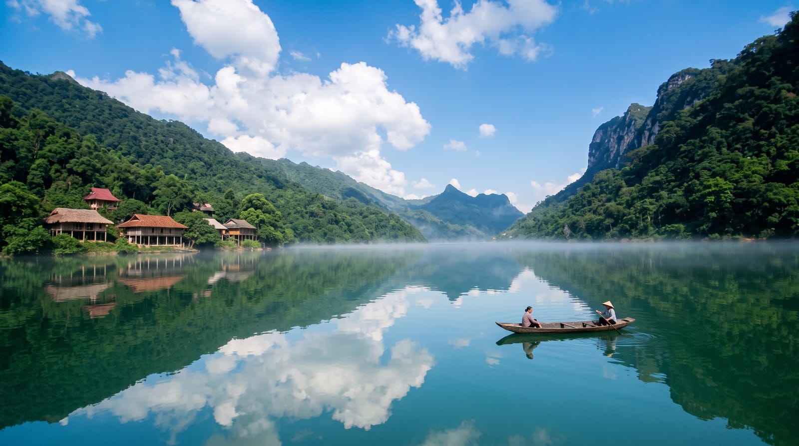
A reservoir in a gorge south of Sulaymaniyah, blue-green water between steep ridges near the Iranian border.
Saved in this browser only - no account, nothing sent anywhere. See your map
Darbandikhan was dammed in the late 1950s where the Diyala river cuts through a narrow gorge, and the reservoir behind it runs back into the hills toward the Iranian border, water of a striking blue-green colour between steep bare ridges. The dam is a large earth-fill structure and the road crosses below it. Along the shore are restaurants, chalets and boat operators, and the site is a weekend destination from Sulaymaniyah rather than an international one. A significant earthquake in 2017 damaged the dam and repairs were carried out. The surrounding country is Kurdish highland with villages in the side valleys, and the road on leads toward Halabja and the Hawraman mountains.
What you actually see
- The gorge reservoir - blue-green water between steep ridges.
- The earth dam - the mid-century structure across the gorge.
- Shore restaurants - the weekend eating and boating spots.
- Highland country - Kurdish villages in the surrounding valleys.
When to go
April to June for the greenest hills and highest water, September and October for clear settled weather. Summer weekends bring crowds from Sulaymaniyah. Winter is cold and wet.
Honest expectations
Shore development is patchy and litter is a problem at popular spots. Photography near the dam itself may be restricted. Water levels vary with the season. Facilities are basic restaurants and boat hire rather than a resort.
Nearby
Sulaymaniyah lies northwest; the Hawraman valleys are east.
What to pack for Darbandikhan Lake
Chosen from what this place is for. Tap a kit for the full checklist.
Opening times, ticket prices and seasonal closures change - check the official source before you go: official site.