Manusela National Park
A park crossing the island of Seram from coast to coast, with endemic cockatoos and a mountain of local sanctity.
Updated 29 August 2026
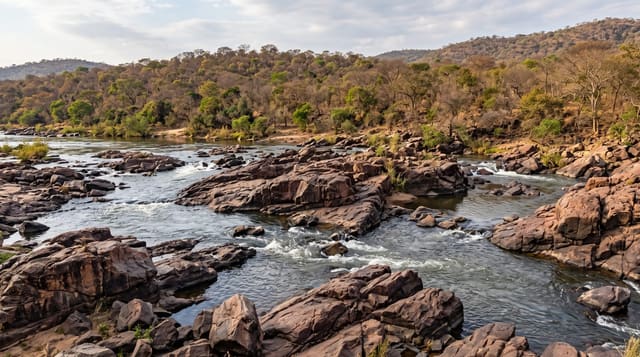
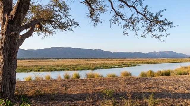
Manusela covers about a hundred and eighty-nine thousand hectares across the middle of Seram, from the southern coast over the central range to the north, and it is the main protected area in Maluku. Gunung Binaiya at just over three thousand metres is the highest point in the Maluku islands and is climbed as a serious multi-day trek. The forest holds birds that exist only on Seram and its neighbours: the salmon-crested cockatoo, heavily trapped for the cage-bird trade and endangered because of it, the purple-naped lory, and a set of endemic parrots and honeyeaters. The Nuaulu and other communities live in and around the park, and the name Manusela - bird of freedom in local usage - attaches to a village and a mountain area treated as sacred. Infrastructure is minimal.
What you'll find
- A coast-to-coast park - crossing Seram over the central range.
- Gunung Binaiya - the highest peak in Maluku, a multi-day trek.
- Salmon-crested cockatoos - endemic and endangered from the cage-bird trade.
- Nuaulu communities - villages in and around the park with their own customs.
When to go
September to March; Seram's seasons are the reverse of western Indonesia. A week.
Good to know
Access is slow and needs permits, guides and arrangement. The Binaiya trek is genuinely hard and long. Malaria is present. There is no visitor infrastructure to speak of.
Nearby
Masohi and Wahai are the road access towns; Ambon is across the strait.
Key facts
Source: Wikidata, item Q1426028, read on 18 October 2026.
What to pack for Manusela National Park
Chosen from what this place is for. Tap a kit for the full checklist.
- Broken-in walking shoes or boots - Grip and ankle support matter more than looks; never hike in brand-new boots. Find on Amazon
- Binoculars - The single best wildlife tool - even a compact pair transforms a sighting. Find on Amazon
- Layers for big temperature swings - Warm sun by day, near-freezing at night, even near the equator. Find on Amazon
- Modest clothing - Shoulders and knees covered - the single most common requirement. Find on Amazon
Some links on this page are Amazon affiliate links - if you buy through them we may earn a small commission at no extra cost to you.
All packing kitsPlan your trip
Where to start if Manusela National Park is going on the list.
Booking links on this page are affiliate links - if you book through them we may earn a small commission at no extra cost to you. It never changes what we write about a place.
Opening times, ticket prices and seasonal closures change - check the official source before you go: official site.