Phawngpui
The highest peak in Mizoram, called the Blue Mountain, with a sheer cliff face on one side and orchid meadows on top.
Updated 19 October 2026
AI illustration
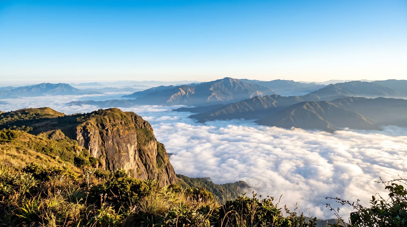
Phawngpui rises to about 2,157 metres, the highest point in Mizoram, and it is called Blue Mountain for the haze that settles on it. The summit is not a peak but a broad grassy plateau scattered with orchids and rhododendron, and on the eastern side the ground ends in Thlazuang Khàm, a sheer cliff dropping several hundred metres with the Chhimtuipui river valley below and Myanmar beyond. The mountain is held sacred in Mizo tradition as a dwelling of spirits. Its national park protects hoolock gibbon, serow, goral and a good bird list including the Blyth's tragopan and hornbills.
History
The peak is revered as a dwelling of local deities and was a major centre of folk religion and folklore. The name comes from the Lai phong, "grassland" or "meadow", with the suffix -pui, "great", because the mountain was mostly covered in meadow (Wikipedia, Phawngpui).
What's there
- The plateau summit - grassland with orchids rather than a sharp peak.
- Thlazuang Khàm - a sheer cliff dropping to the river valley.
- The Myanmar view - hills across the border from the eastern edge.
- The wildlife - gibbon, serow, goral and hornbills in the park forest.
When to go
October to April for clear weather; the monsoon brings heavy rain and fog that hides everything. Orchids and rhododendron flower in spring. Nights on the mountain are cold.
Good to know
Permits are required and southern Mizoram is remote with long rough road journeys. Accommodation is a basic forest rest house. Fog frequently closes the cliff view. Guides are needed for the trails.
Nearby
Lawngtlai lies west; the Myanmar border is east.
Key facts
Source: Wikidata, item Q3334379, read on 18 October 2026.
What to pack for Phawngpui
Chosen from what this place is for. Tap a kit for the full checklist.
- Broken-in walking shoes or boots - Grip and ankle support matter more than looks; never hike in brand-new boots. Find on Amazon
- Binoculars - The single best wildlife tool - even a compact pair transforms a sighting. Find on Amazon
- Strong insect repellent - DEET or picaridin; the jungle is where bites and disease risk are highest. Find on Amazon
- Modest clothing - Shoulders and knees covered - the single most common requirement. Find on Amazon
Some links on this page are Amazon affiliate links - if you buy through them we may earn a small commission at no extra cost to you.
All packing kitsPlan your trip
Where to start if Phawngpui is going on the list.
Booking links on this page are affiliate links - if you book through them we may earn a small commission at no extra cost to you. It never changes what we write about a place.
Opening times, ticket prices and seasonal closures change - check the official source before you go: official site.