Munsiyari
A remote village facing the five peaks of Panchachuli across a valley, at the head of an old trade route.
Updated 19 October 2026
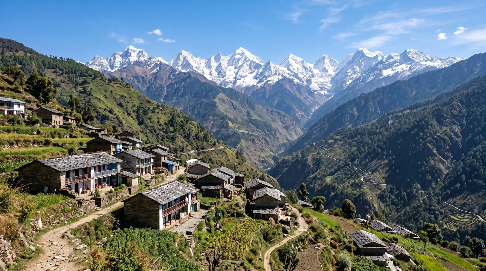
AI illustration
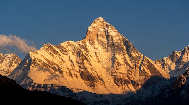
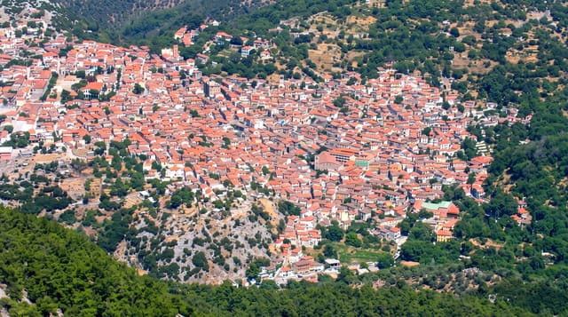
Munsiyari sits at about 2,200 metres in the far east of Kumaon, on what was the trade route to Tibet through the Johar valley, and its Bhotiya community traded salt and wool over the passes until the border closed in 1962. The village looks directly across the Goriganga valley at the Panchachuli massif, five peaks over six thousand metres arranged in a row, named for the five hearths of the Pandavas, which turn gold at sunrise. Treks run from here to the Milam and Namik glaciers and to Khaliya Top, a meadow ridge a few hours above the village.
History
The tract of Munsiyari, first made up of the villages of Surhing, Gorpata, Darati and Darkot, was a vital depot for the Trans-Himalayan trade between Tibet and the plains of India, and in the early 20th century it was the main winter settlement of the Bhotia traders of the Malla Johar region (Wikipedia, Munsiari).
What's there
- The Panchachuli peaks - five six-thousanders in a row across the valley.
- The Johar valley - the old trade route toward the Tibetan passes.
- Khaliya Top - a meadow ridge walked in a few hours from the village.
- The Bhotiya heritage - trading community history and a small local museum.
When to go
March to June and September to November; the monsoon brings landslides that close the road for days, and winter brings snow. October and November give the clearest peak views.
Before you go
The drive in is long, rough and prone to landslides, taking a full day or more from the plains. Accommodation is simple guesthouses. Cloud hides the peaks for long stretches in some seasons.
Nearby
Pithoragarh lies south; the Milam glacier trek starts here.
Key facts
Source: Wikidata, item Q14226032, read on 18 October 2026.
What to pack for Munsiyari
Chosen from what this place is for. Tap a kit for the full checklist.
- Broken-in walking shoes or boots - Grip and ankle support matter more than looks; never hike in brand-new boots. Find on Amazon
- Warm base layers - Merino or synthetic against the skin - never cotton, which chills when damp. Find on Amazon
- Strong insect repellent - DEET or picaridin; the jungle is where bites and disease risk are highest. Find on Amazon
- Comfortable walking shoes - Sightseeing means kilometres of pavement and cobbles daily. Find on Amazon
Some links on this page are Amazon affiliate links - if you buy through them we may earn a small commission at no extra cost to you.
All packing kitsPlan your trip
Where to start if Munsiyari is going on the list.
Booking links on this page are affiliate links - if you book through them we may earn a small commission at no extra cost to you. It never changes what we write about a place.
Opening times, ticket prices and seasonal closures change - check the official source before you go: official site.