Gangotri
A temple town near the glacier snout where the Ganges begins, in a valley of granite and deodar.
Updated 4 September 2026
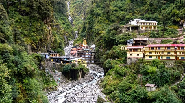
AI illustration
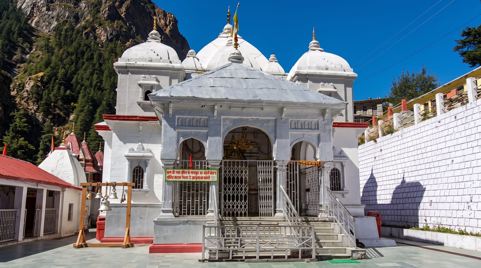
Gangotri sits at about 3,100 metres on the Bhagirathi, the headstream generally treated as the Ganges, and its eighteenth-century white temple is one of the Char Dham. The actual source lies nineteen kilometres upstream at Gaumukh, the cow's mouth, the snout of the Gangotri glacier, reached on a trek through a valley walled by the Bhagirathi peaks and Shivling, one of the most striking granite spires in the Himalaya. Permits limit daily numbers on that trail. Below the town, the river narrows into a gorge at Bhairon Ghati, and the temple closes each winter when the deity is taken down to Mukhba.
What you'll find
- The white temple - the eighteenth-century shrine on the riverbank.
- The Gaumukh trek - nineteen kilometres up to the glacier snout.
- Shivling and the Bhagirathi peaks - granite spires above the valley.
- The gorge - the river narrowing below the town at Bhairon Ghati.
When to go
May to June and September to October, within the open season from roughly late April to November; the monsoon brings landslides. The Gaumukh trek needs a permit obtained in advance and daily numbers are capped.
Practical notes
The glacier has retreated substantially and Gaumukh is further up the valley than older accounts describe. Altitude affects trekkers. Roads in are long, narrow and landslide-prone.
Nearby
Yamunotri lies west; Kedarnath is east.
Key facts
Source: Wikidata, item Q818612, read on 18 October 2026.
What to pack for Gangotri
Chosen from what this place is for. Tap a kit for the full checklist.
- Broken-in walking shoes or boots - Grip and ankle support matter more than looks; never hike in brand-new boots. Find on Amazon
- Warm base layers - Merino or synthetic against the skin - never cotton, which chills when damp. Find on Amazon
- Strong insect repellent - DEET or picaridin; the jungle is where bites and disease risk are highest. Find on Amazon
- Layers for big temperature swings - Warm sun by day, near-freezing at night, even near the equator. Find on Amazon
Some links on this page are Amazon affiliate links - if you buy through them we may earn a small commission at no extra cost to you.
All packing kitsPlan your trip
Where to start if Gangotri is going on the list.
Booking links on this page are affiliate links - if you book through them we may earn a small commission at no extra cost to you. It never changes what we write about a place.
Opening times, ticket prices and seasonal closures change - check the official source before you go: official site.