Raudanes
A marked coastal walk past arches, stacks and sea caves on a peninsula almost nobody drives to.
Updated 30 August 2026
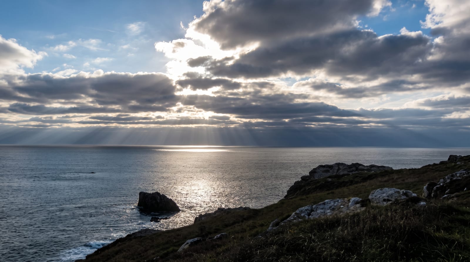
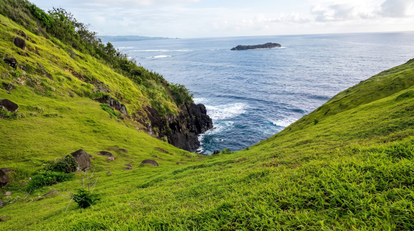
Raudanes is a headland on the north-east coast where the sea has worked through soft rock to leave arches, stacks and caves along a few kilometres of shore, and a marked path with numbered posts runs round it in a loop of about seven kilometres. Stodvarbjarg, a sheer face on the outer point, holds nesting birds in summer, and a natural arch called Katlar is the set piece of the walk. The route also passes an old landing place used when boats worked this coast. Almost nobody comes: this corner of Iceland is bypassed by the ring road and the traffic that follows it, so the path is usually empty even in July.
What's there
- Arches, stacks and caves - the sea's work along a few kilometres.
- A seven kilometre marked loop - numbered posts round the headland.
- Nesting cliffs at Stodvarbjarg - the outer face in summer.
- An empty path - the ring road takes the traffic elsewhere.
When to go
June to August. Three to four hours.
What to expect
The path runs along unfenced cliff edges that are undercut in places. Wind on this coast is severe and there is no shelter. It is a long detour from the ring road. Facilities are a car park with an information board.
Nearby
Thorshofn is east; Langanes runs out beyond it.
What to pack for Raudanes
Chosen from what this place is for. Tap a kit for the full checklist.
- Broken-in walking shoes or boots - Grip and ankle support matter more than looks; never hike in brand-new boots. Find on Amazon
- Head torch + spare batteries - Hands-free light is essential; caves are truly dark. Find on Amazon
- Layers + a waterproof shell - Mountain weather turns fast; a packable rain jacket saves the day. Find on Amazon
- Grippy closed shoes - Cave floors are wet, muddy and slick with formations. Find on Amazon
Some links on this page are Amazon affiliate links - if you buy through them we may earn a small commission at no extra cost to you.
All packing kitsPlan your trip
Where to start if Raudanes is going on the list.
Booking links on this page are affiliate links - if you book through them we may earn a small commission at no extra cost to you. It never changes what we write about a place.
Opening times, ticket prices and seasonal closures change - check the official source before you go: official site.