Aldeyjarfoss
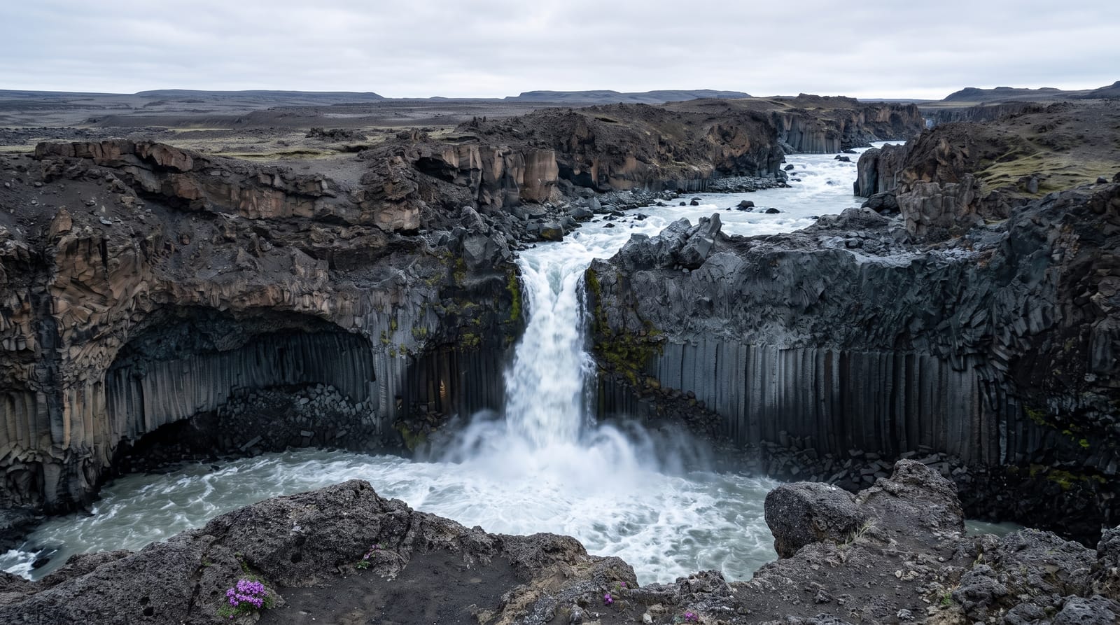
A waterfall in the north where the Skjalfandafljot drops into a bowl framed by tall dark basalt columns, at the start of the Sprengisandur route.
Updated 12 October 2026
AI illustration
Real photos (1)
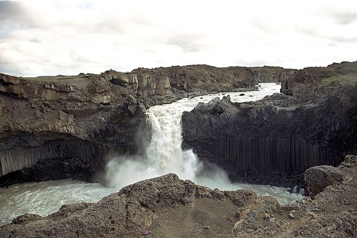
The Skjalfandafljot is the river that makes Godafoss further downstream, and at Aldeyjarfoss it drops into a narrow bowl walled with basalt columns that are darker, taller and more regular than most in the country. White water against black rock is the whole picture, and it is a compact one: the fall is not high and you stand more or less on top of it. This is also the point where the surfaced road gives out and the Sprengisandur crossing of the interior begins, so the site marks a boundary as much as a view. The last kilometres are washboard gravel that shakes a small car badly.
Highlights
- The column wall - tall regular basalt around the plunge pool, unusually dark.
- The plunge pool - the narrow bowl the river drops into before turning north.
- The upper river - flat water above the lip with the highlands opening out behind.
- The road south - where the surfaced road ends and the Sprengisandur route begins.
When to go
June to September, when the gravel road is open and in reasonable shape; it is not maintained through winter and the last section becomes impassable. Midday sun reaches down into the bowl, while morning and evening leave it in shadow, which suits the rock better than the water. There is no charge, no staff and nothing laid on.
Things to know
The final gravel stretch is rough enough that a low hire car takes a beating and some people turn back. Edges above the fall are unfenced and the rock is wet. Spray coats a lens in seconds. Since tour operators started including it the small parking area fills up, and the best standing spot holds about four people at a time.
Nearby
Godafoss and the ring road are north down the valley; the Sprengisandur route runs south into the interior.
Key facts
Source: Wikidata, item Q1827108, read on 18 October 2026.
What to pack for Aldeyjarfoss
Chosen from what this place is for. Tap a kit for the full checklist.
- Broken-in walking shoes or boots - Grip and ankle support matter more than looks; never hike in brand-new boots. Find on Amazon
- Layers + a waterproof shell - Mountain weather turns fast; a packable rain jacket saves the day. Find on Amazon
- Daypack with rain cover - 20-30 litres holds water, snacks, layers and a first-aid kit. Find on Amazon
- Offline maps + a power bank - Download the trail before you lose signal; carry backup charge. Find on Amazon
Some links on this page are Amazon affiliate links - if you buy through them we may earn a small commission at no extra cost to you.
All packing kitsPlan your trip
Where to start if Aldeyjarfoss is going on the list.
Booking links on this page are affiliate links - if you book through them we may earn a small commission at no extra cost to you. It never changes what we write about a place.
Opening times, ticket prices and seasonal closures change - check the official source before you go: official site.